
 Hiking
 Login
Login
 More
More
 EN
EN
 Premium
Meesbergwandeling
7.6 km • Holsbeek
 official route
6.31014 4 4.4/5
route offered by

 Addresse starting point (approximate)
Sint-Mauruskerk, Gebr. Van Tiltstraat 1, 3220 Holsbeek
 signage
The route is fully signposted with nodes.
 Description
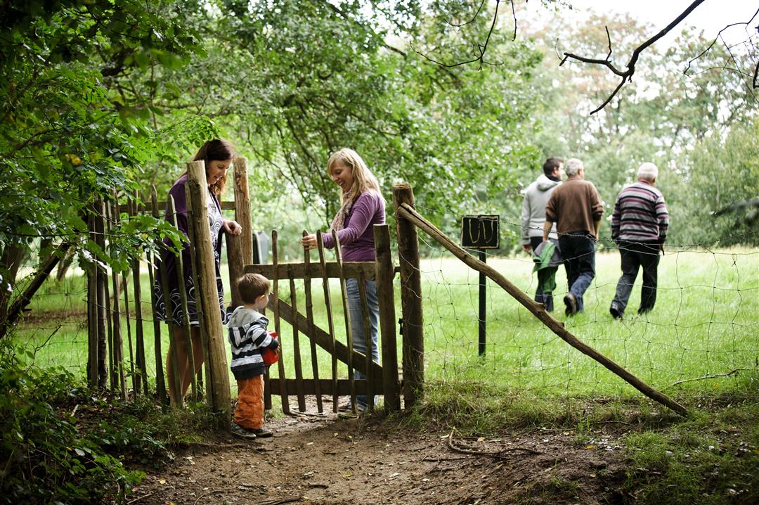
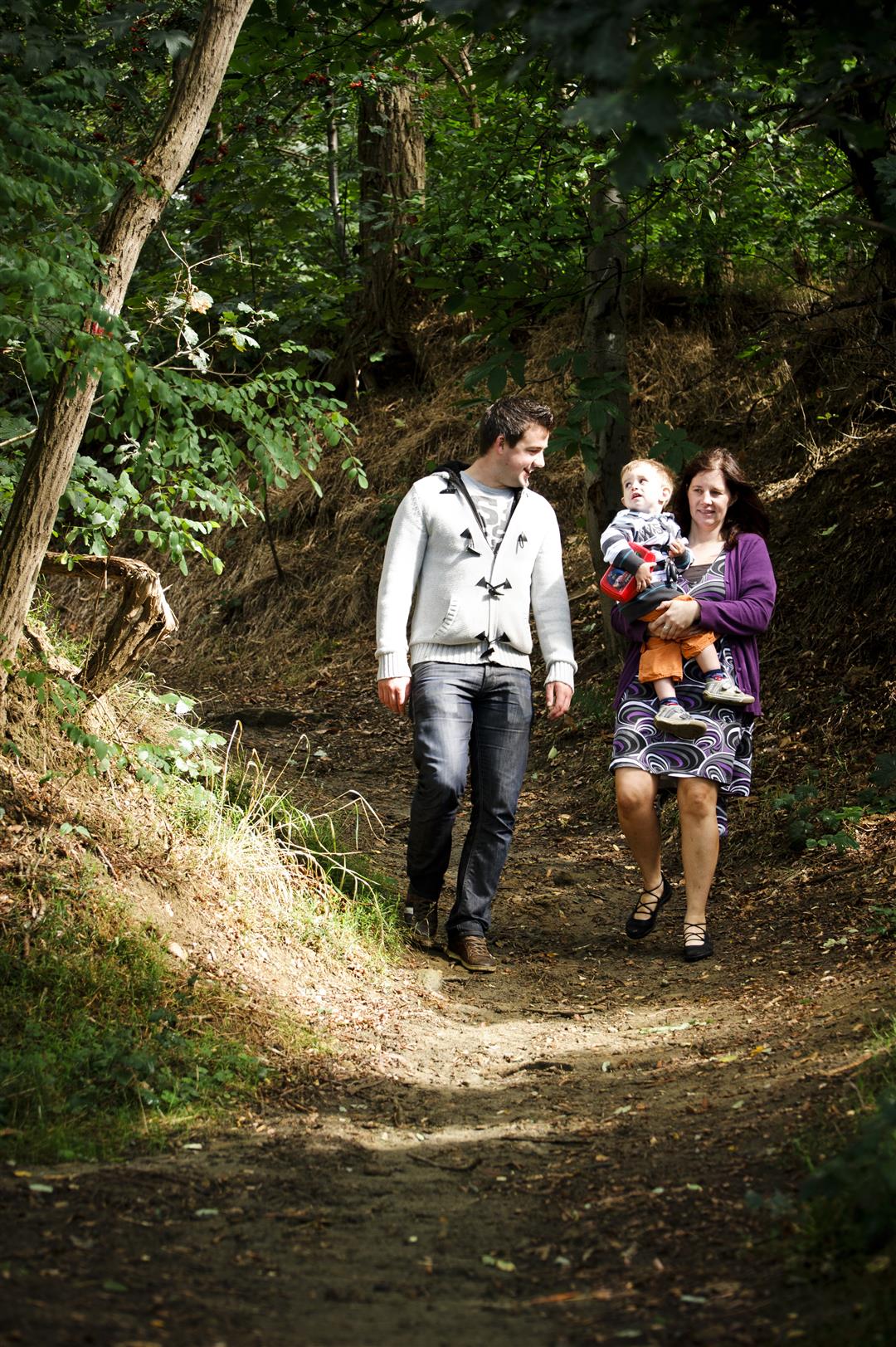
Starting at the Neo-Gothic St. Maurus Church in Holsbeek, a walk through the greenery with some steep climbs awaits you. You’ll climb the Kesselberg, the 75-meter-high hilltop that rises above the Kessel Valley. Continuing along the ridge, you’ll head toward the Chartreuzenberg, which you’ll descend via a beautiful, sunken cobblestone road.
automatic translation
 nodes to follow
0 km
0.4 km
1.3 km
1.4 km
2.3 km
3.6 km
3.9 km
5.1 km
5.8 km
6.1 km
7.6 km
Sunday, June 30, 2024 by Sonja Willems Did this beautiful hike on a summer Sunday. Notwithstanding we are familiar with the area we were pleasantly surprised by all the beauty on our way. Highly recommended 👌.
automatic translation
Sunday, April 18, 2021 by E.K.Nice walk through Holsbeek and on the Kesselse Bergen. Some very steep hills though.
automatic translation
Sunday, December 20, 2020 by I.V.Super fun hike for big and small.
automatic translation
Saturday, November 7, 2020 by W.D.The walk is more than 2/3 through the forest. No view of Leuven.
automatic translation



 Upgrade to Premium Plus


