 Hiking
 Login
Login
 More
More
 EN
EN
 Premium
Beninksbergwandeling
4.3 km • Rotselaar
 official route
3.9928 1 4/5
4.3 km
0.0 km
0.0 km
route offered by
 Addresse starting point (approximate)
Parking hoek Blauwmolenstraat - Klein Vlasselaar, 3110 Rotselaar
 signage
The route is fully signposted with nodes.
© Lander Loeckx
 Description
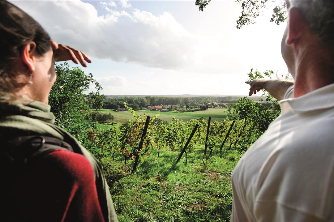
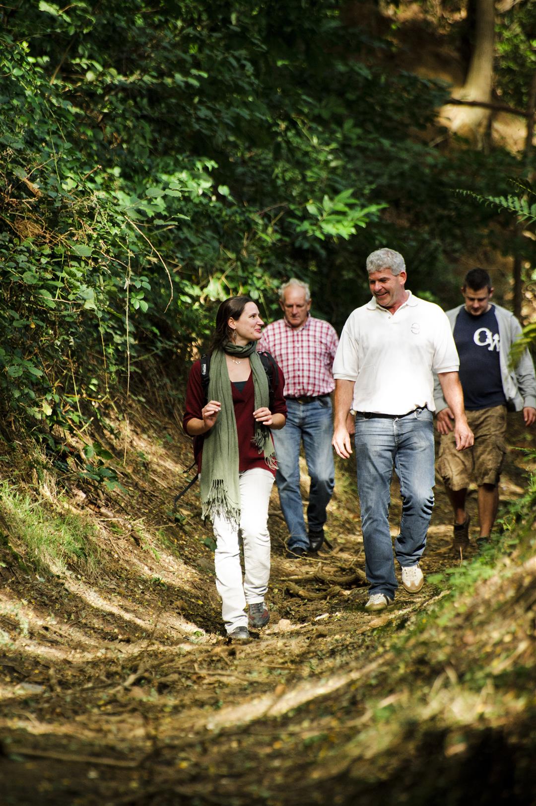
The Beninksberg is a striking example of a typical Diest hill. The landscape is varied, alternating between deciduous forest, heathland, barren terrain, and scrubland. The hike takes you to the summit, 50 meters above the surrounding landscape. There, a stunning panoramic view of the Winge Valley awaits you. It’s a short hike, but take your time to fully enjoy the rows of grapevines and the natural surroundings, as the Beninksberg is also a rich nature reserve.
automatic translation
 nodes to follow
0 km
0.3 km
0.8 km
1 km
2.7 km
2.8 km
3.9 km
4.3 km


 Upgrade to Premium Plus
