 Hiking
 Login
Login More
More EN
EN Premium
Lovenarenbroek walk
automatic translation
3.7 km • Leuven
 official route
route offered by
 Addresse starting point (approximate)
Holsbeeksesteenweg , 3010 Kessel-Lo
 signage
The route is fully signposted with nodes.
 Description
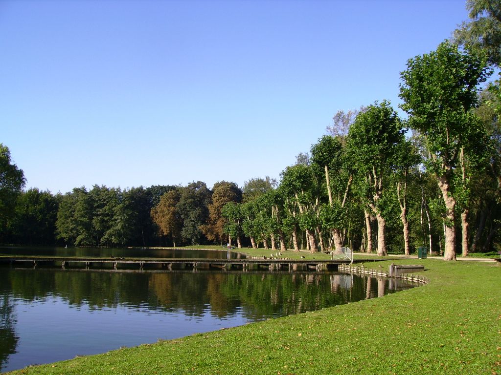
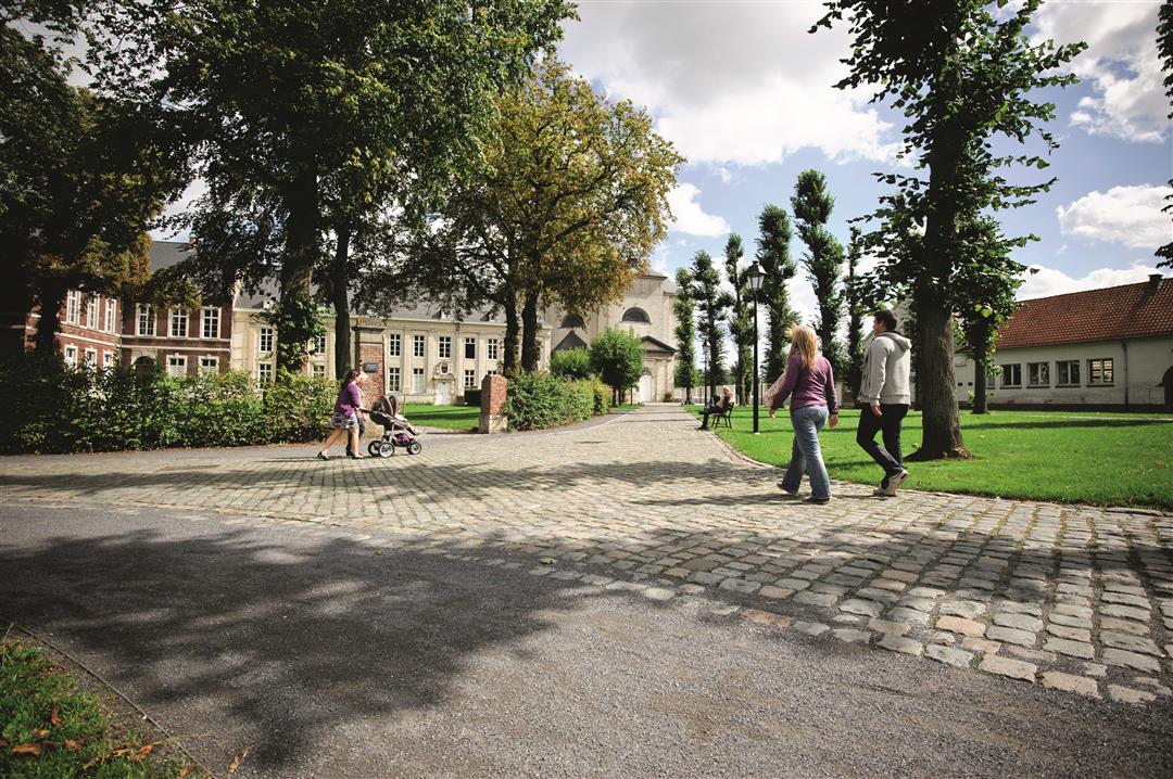
The Lovenarenbroek was once a large wetland, in the valley of the Dijle River, stretching from the 12th-century Leuven ring to the foot of the Kesselberg. Today it is an educational nature reserve in the Kessel-Lo provincial domain, managed by Natuurpunt. This short hike starts in the provincial domain and leads you past two beautiful ponds to hidden little roads between gardens and houses of Beneden-Kessel, eventually arriving at Vlierbeek Abbey. Be sure to take a look here and enjoy the sacred silence.This walk is offered by Tourism Flemish Brabant.
automatic translation
 nodes to follow
0 km
1 km
1.9 km
3.3 km
3.7 km


 Upgrade to Premium Plus
