 Hiking
 Login
Login More
More EN
EN Premium
Wine Village Walk
automatic translation
10.7 km • Rotselaar
 official route
route offered by
 Addresse starting point (approximate)
Vakenstraat 18, 3110 Rotselaar
 signage
The route is fully signposted with nodes.
 Description
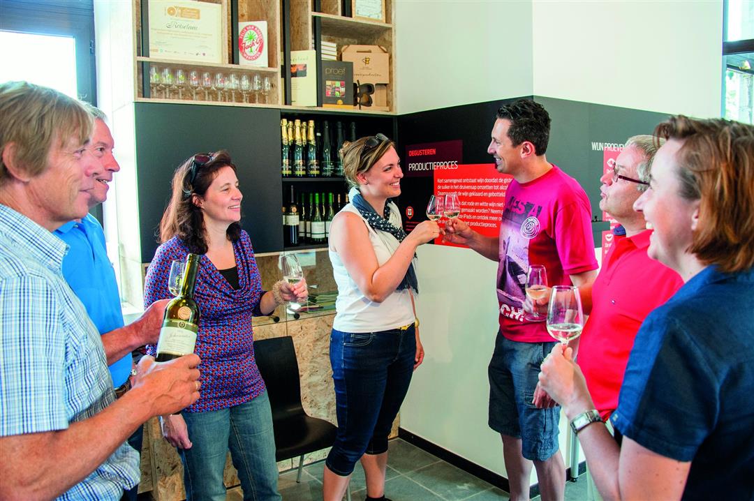
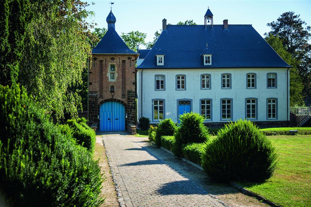
From domain Ter Heide you walk to the village of Wezemaal. The rows of grape vines on the Wijngaardberg do not lie: Wezemaal is a real wine village. Stroll through the village with the neo-Gothic former town hall on the beautiful market square, which is now the visitors' center. Here you can learn all about Hageland wine. Afterwards, descend to the cozy tasting room in the cellar. Past St. Martin's Church, behind the charming ironstone gatehouse you can see Wezemaal's white rectory building. It dates from 1624, making it the oldest Norbertine presbytery in the wider area.
This walk is offered by Tourism Flemish Brabant.
automatic translation
 nodes to follow
0 km
0.2 km
0.7 km
0.9 km
2.3 km
2.4 km
5 km
5.5 km
5.7 km
8.3 km
8.4 km
8.4 km
9.9 km
10.1 km
10.3 km
10.5 km


 Upgrade to Premium Plus
