
 Hiking
 Login
Login
 More
More
 EN
EN
 Premium
Wijndorpwandeling
10.5 km • Rotselaar
 official route
3.5185 2 2.8/5
route offered by

 Addresse starting point (approximate)
Vakenstraat 18, 3110 Rotselaar
 signage
The route is fully signposted with nodes.
 Description
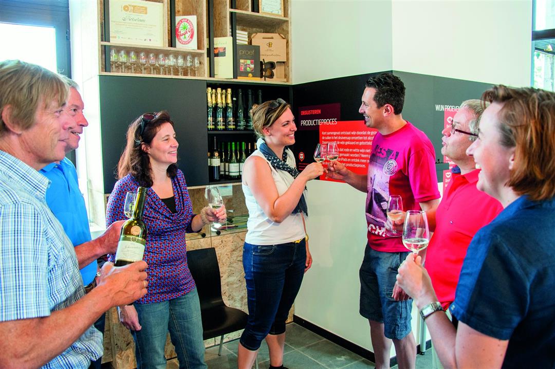
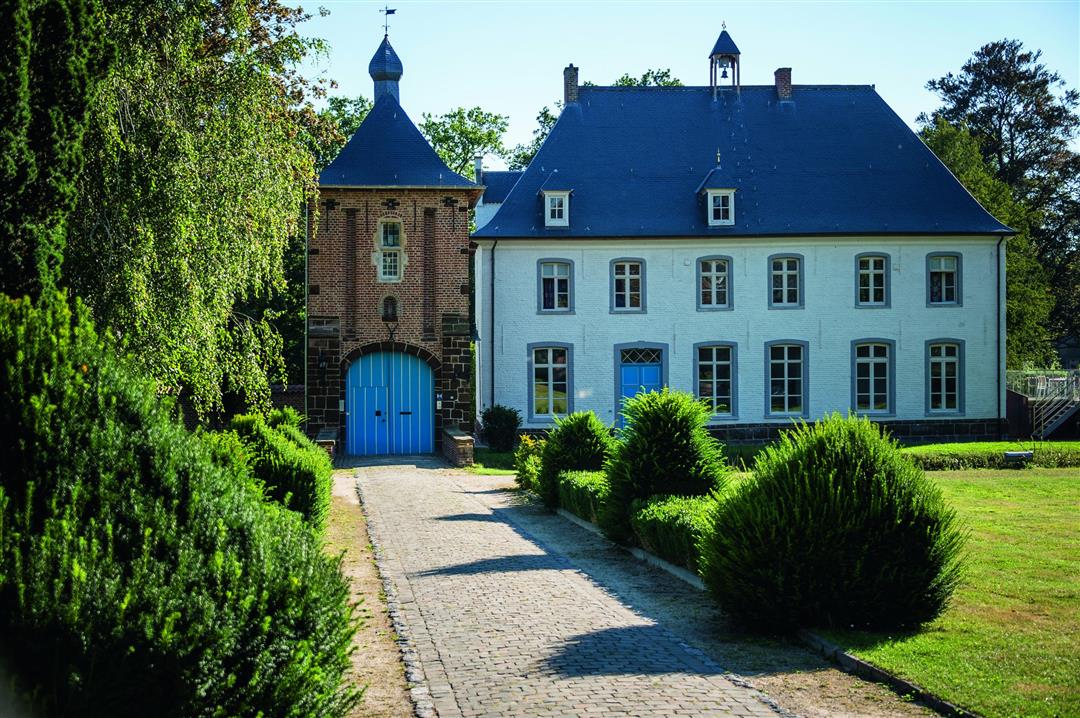
From the Ter Heide estate, you can walk to the wine village of Wezemaal and the Wijngaardberg. In the neo-Gothic former town hall, you’ll find the Hageland Wine Visitor Center, where you can learn all about this wine region. Past St. Martin’s Church, behind the charming gatehouse, you’ll see the white rectory of Wezemaal. Dating back to 1624, it is the oldest Norbertine rectory in the wider area.
automatic translation
 nodes to follow
0 km
0.2 km
0.7 km
0.9 km
2.3 km
2.4 km
5 km
5.5 km
5.7 km
8.3 km
8.4 km
8.4 km
9.9 km
10.1 km
10.3 km
10.5 km
Thursday, May 14, 2026 by Myriam De WinterA very disappointing hike. According to “Flanders’ Finest,” it’s supposedly one of the more scenic hikes. However, it mainly follows streets, bike paths, and stretches of busy road. You only pass through the vineyard hill for a few hundred meters. We should have chosen the 7.4-kilometer Vineyard Hill route instead, which does go through that area. In our opinion, this route is not recommended!
automatic translation
Sunday, September 19, 2021 by M.M.Varied walk. Next to the pond, between houses, in the fields, in the woods,.... Wezemaal is a very cozy village with a nice brasserie 'Boeres'. Definitely recommended!
automatic translation



 Upgrade to Premium Plus


