
 Hiking
 Login
Login
 More
More
 EN
EN
 Premium
Molenbeekvalleiwandeling
4.1 km • Herent
 official route
4.80812 7 4.1/5
route offered by

 Addresse starting point (approximate)
Kerkstraat, 3020 Veltem-Beisem (Herent)
 signage
The route is fully signposted with nodes.
 Description
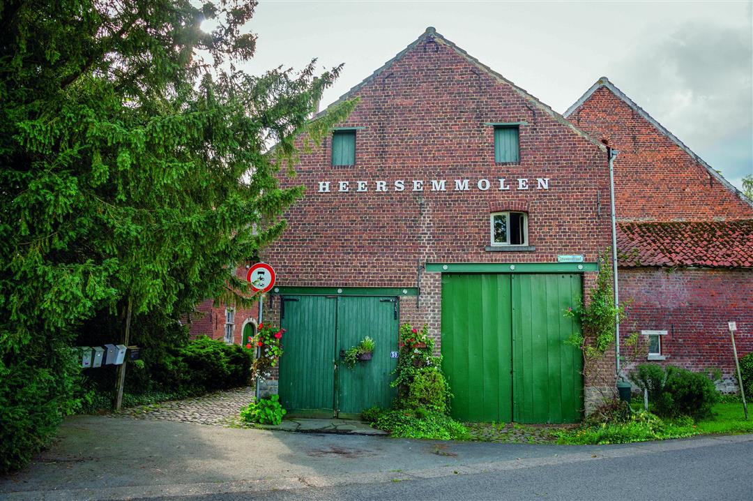
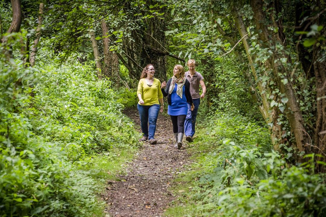
The narrow Molenbeek Valley on the border between Veltem-Beisem and Erps-Kwerps is part of the Green Valley. You’ll walk through a landscape of grasslands, forests, and open water. With a little luck, you might spot a kingfisher. You’ll pass the only remaining watermill on the Molenbeek. As early as 1356, there was a watermill on the site where the Heersem Mill now stands. The oldest parts of the current mill complex date back to the 15th century.
automatic translation
 nodes to follow
0 km
1.1 km
2.9 km
3.3 km
4.1 km
Sunday, August 23, 2026 by Yasmin VdCA nice, short walk. Park at the end of Kerkstraat. The boardwalk and some of the little bridges are a bit worn, but still perfectly fine. Peaceful surroundings. The last stretch of the street. Also great for walking dogs.
automatic translation
Thursday, August 6, 2026 by An EveraertIt’s best to go when it’s been dry for a while… otherwise it gets very muddy, especially the second part of the hike, past the viewing meadow…The last part is on streets. If, like me, you don’t like that, you can also cut across and take the same route back to the starting point.
automatic translation
Sunday, November 16, 2025 by Peggy Goovaertswet hike - part of trail is flooding after 2 weeks of rain. On Sunday you have to take in the screams of children playing (youth movement). A beautiful area!
automatic translation
Thursday, August 21, 2025 by Frieda Verhoeftnice walk.
automatic translation
Monday, April 12, 2021 by P.N.In 2 places we had to search for the signs and at a certain moment we found a sign with a pole that had been thrown on the ground ... at least 300 meters further on ... so we made 2 serious mistakes.The beginning of the walk was very swampy ... and it hadn't rained much.
automatic translation
Saturday, July 25, 2020 by K.V.Idd. beginning of hike is a bit searching,
nevertheless a beautiful walk!
automatic translation
Saturday, April 11, 2020 by C.A.nice forest walk , with a reasonable stretch of concrete between 804 and 803.
The beginning of the hike on Church Street not clearly marked. The 802 figure is first found quite a ways down Church Street at the beginning of the hiking trail.
Determined according to my smartphone that the walk is not 4 but 5 km.
automatic translation



 Upgrade to Premium Plus


