 Hiking
 Login
Login More
More EN
EN Premium
Woodland Walk
automatic translation
5.5 km • Steenokkerzeel
 official route
5180 0 0/5
route offered by
 Addresse starting point (approximate)
Parking Van Frachenlaan, Van Frachenlaan 11/21, 1820 Steenokkerzeel
 signage
The route is fully signposted with nodes.
 Description
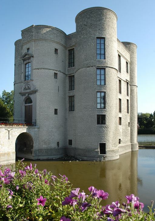
Start at Kasteel ter Ham, a beautiful fifteenth-century moated castle that has been cleverly renovated. You briefly follow the Molenbeek along a wooded road before walking through open fields with wide views.
It was in these fields that the largest plane crash in Belgian history occurred in 1961. Sabena flight 548 crashed and 73 people, including the entire American figure skating team and a farmer in the field, lost their lives. A plaque along the way tells the full story. That you are near Brussels Airport here is also proven by the control tower that accompanies you throughout the walk. Yet it is surprisingly quiet near one of the busiest places in the country.
automatic translation
 nodes to follow
0 km
0.7 km
2.4 km
3.7 km
4.5 km
5.2 km


 Upgrade to Premium Plus
