 Hiking
 Login
Login
 More
More
 EN
EN
 Premium
North Texel Variation De Slufter and Eierland
automatic translation
32.6 km • Texel
4840 0 0/5

 Addresse starting point (approximate)
Dorpsstraat 115, 1796 CA De Koog, Netherlands
 signage
The route is partially signposted with nodes. Use a GPS device or our app to follow the route.


 Description
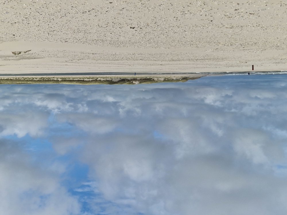
From the cozy De Koog with its numerous terraces, explore the nature park De Slufter and the Eierland Dunes.
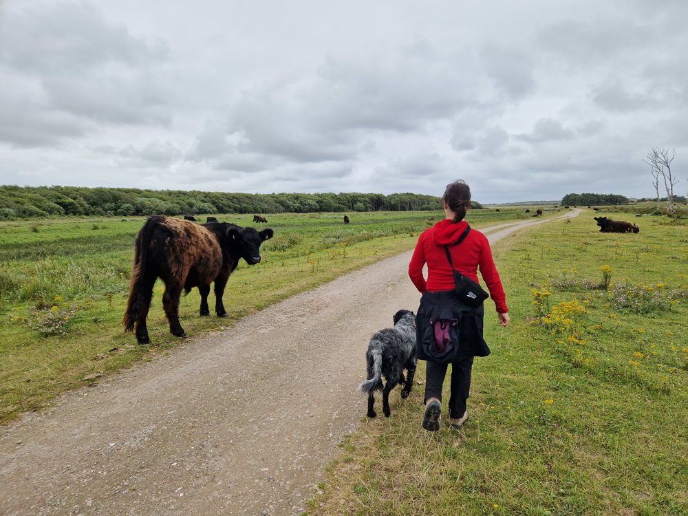
You will pass by expansive beaches and dune areas with viewpoints such as Bertusnol and De Mey. Along the way, you can spot various typical plants and animals of brackish water from afar or even up close. For example, there is the beautiful blue-violet haze of sea lavender that prevails in the Slufter especially in July/August. Or enjoy the resting seals on the expansive beach at the Eierland dam at low tide.
The Eierland Lighthouse is an idyllic location to enjoy the view, the wind, and a nice snack and drink in a nearby beach hut. (Including the sunset!). The hike can easily be extended or shortened depending on the walking loops you choose to make or not make in the nature areas. Dogs are welcome on a leash.
automatic translation
 nodes to follow
0 km

0.3 km
0.8 km
1.7 km
4.6 km
5.9 km
6.6 km
7 km
7.6 km
8.5 km
9.4 km
11.5 km
13.2 km
15.7 km
16.6 km
17.1 km
17.5 km
18.6 km
19.4 km
20.8 km
23.9 km
24.4 km
25.4 km
26.8 km
27.7 km
29.8 km
31.6 km
32.6 km


 Upgrade to Premium Plus
