 Hiking
 Login
Login
 More
More
 EN
EN
 Premium
My Flemish Ardennes Route
automatic translation
8.3 km • Brakel
3.49431 5 4.7/5

 Addresse starting point (approximate)
Wandelknooppunt 1, Muiterij 11, 9660 Brakel, Belgium
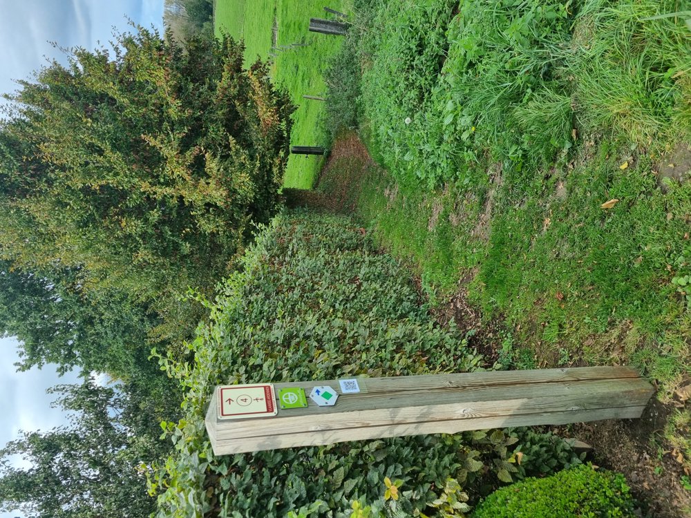
 signage
The route is fully signposted with nodes.


 Description
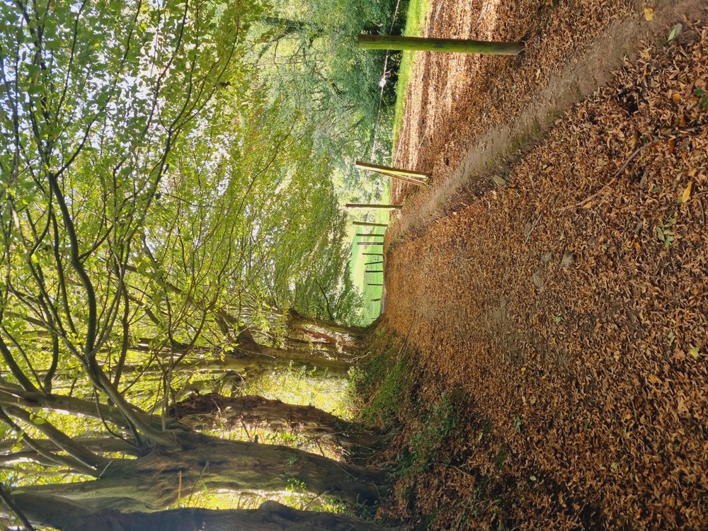
Own tour with junction points that takes you through beautiful nature, including the Everbeek forests, Livierenbos, and Trimpontbos.
You walk just over the Walloon border where the junction signs are slightly different but still well marked.
I advise against this route during wet periods.
🔢 1-2-4-3-36-35-27-29-97-98-95-96-1
📏 8.3 km (of which almost 7 km unpaved)
🐕🦺 Dogs on a leash
👶🏻 Not buggyproof
🅿️ Muiterij 11, Brakel (Everbeek-boven Church)
(East Flanders)
automatic translation
 nodes to follow
0 km
0.1 km
0.6 km
1.6 km
2 km
3 km
3.5 km
5.4 km
5.7 km
6 km
6.4 km
6.7 km
8.2 km
8.3 km
Sunday, December 28, 2025 by J.D.Beautiful hike, variety trumps. Had already walked parts of this hike in the summer, also in this winter period this hike is very good. Muddy strips here and there, but there were also in the summer period.
automatic translation
Monday, December 15, 2025 by E.D.Did our very first junction walk yesterday, and this turned out to be it. Very nice walk, well mapped out and varied forest/farm tracks, thanks!
automatic translation
Wednesday, August 6, 2025 by Mieke Verbekevery nice and quiet hike. though occasionally gooey hills. beware in rainy weather.
automatic translation
Saturday, May 17, 2025 by Wendy VernaillenVery nice walk ! Nice variety between trees(shade) meadows and rural landscapes. Enjoyed it together with the dogs 😊.
automatic translation
Monday, June 2, 2025 by Sarah wandel.hike.belgiëGlad to read this😉
automatic translation
Thursday, July 25, 2024 by F.R.nice route , all kinds of animals to see , also beautiful llamas, and also some tasty cherries , blackcurrants , plums , hazelnuts
automatic translation
Monday, June 2, 2025 by Sarah wandel.hike.belgiëThank you for your response👏
automatic translation


 Upgrade to Premium Plus
