 Hiking
 Login
Login
 More
More
 EN
EN
 Premium
Straight through Bosland
automatic translation
10.9 km • Lommel
 official route
3.1946 3 4.3/5

 Addresse starting point (approximate)
Start wandelingen: Kattenbos - Vlinderwandeling, Zandstraat 28, 3920 Lommel, Belgium
 signage
The route is fully signposted with nodes.


 Description
This walk in the beautiful Limburg takes you through National Park Bosland.
In October 2023, this area was even awarded the National Park Flanders label.
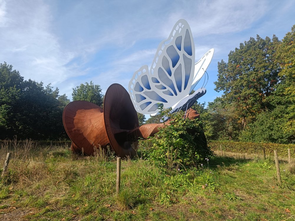
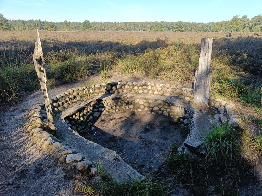
You start at the 'Vlinder van Kattenbos' and head towards the nature reserve Pijnven. Here, a diversity of fauna and flora resides in a landscape of colorful heathlands and mysterious pools. You can't help but relax here.
Along the way, you also pass a German military cemetery, where about 38,000 soldiers, mostly fallen in World War II, are buried. By the way, you can also take a break at Hof ten Vrede.
🅿️ At starting point 139.
automatic translation
 nodes to follow
0 km
0.3 km
0.5 km
0.6 km
1.1 km
1.2 km
1.6 km
1.9 km
2.2 km
2.9 km
3.7 km
5.4 km
6.5 km
7.1 km
8.4 km
8.7 km
9.2 km
10 km
10.7 km
10.9 km
Saturday, August 23, 2025 by K.V.too little through the forest
automatic translation
Tuesday, October 1, 2024 by Yannick MertensHiking Pearl of the Hiking Node Quest edition 2024.
automatic translation
Saturday, June 29, 2024 by Walter D'JoosNice quiet route with plenty of shade and regularly wide trails.
automatic translation


 Upgrade to Premium Plus
