
 Hiking
 Login
Login
 More
More
 EN
EN
 Premium
Lower Dender-Scheldt Land
automatic translation
7.2 km • Lebbeke
3.76923 5 4.1/5

 Addresse starting point (approximate)
Wiezeplein 16, 9280 Lebbeke, Belgium
 signage
The route is fully signposted with nodes.
 Description
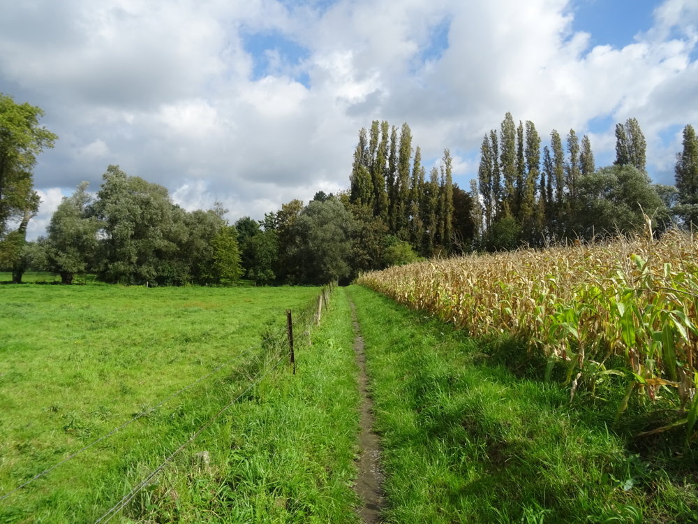
The Beneden-Dender nature reserve is a gigantic open natural landscape of no less than 850 hectares.
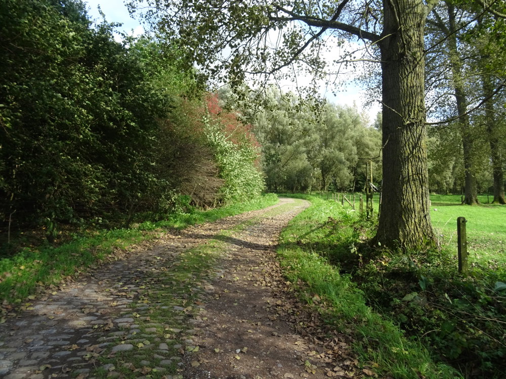
The walk: Wide landscapes, small country roads, boardwalks along wet forests. Start and parking at the church in Wieze. Wieze is the village of beer and chocolate (Callebaut).
There are many catering establishments in the village of Wieze.
automatic translation
 nodes to follow
0 km
1 km
1.1 km
2.7 km
2.9 km
4.5 km
5.5 km
6.1 km
7.2 km
Wednesday, July 22, 2026 by M.B.The walk begins along dingy, slightly overgrown paths.
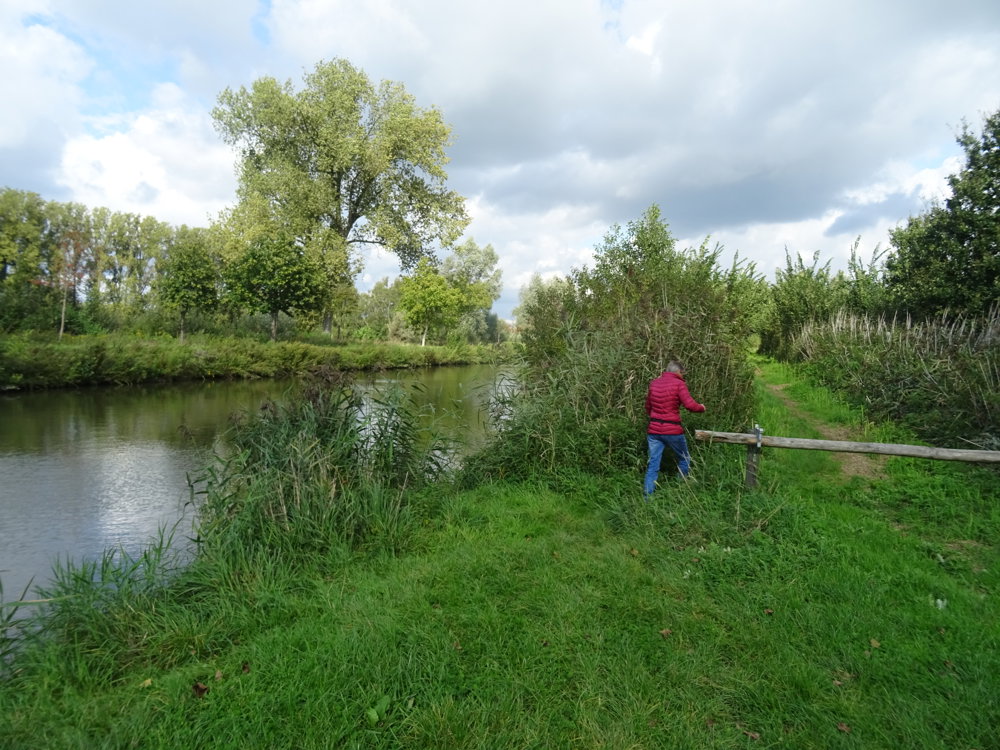
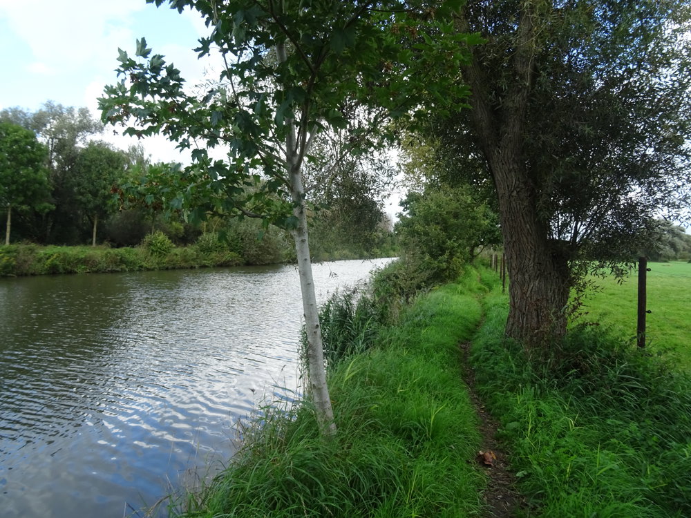
Along the Dender, in some places, reeds and a great many stinging nettles hang over the path.
automatic translation
Friday, April 10, 2026 by Hilde Bruggemans A really fun and beautiful walk
automatic translation
Wednesday, February 4, 2026 by Noël ColpaertNice walk, but after rainy weather there is a lot of mud and a risk of slipping.
automatic translation
Saturday, December 27, 2025 by Griet Van der straetensuper nice walk . Amazing how from a village center completely unpaved you can make such a beautiful tour! end point in De Goeste !
automatic translation
Saturday, June 29, 2024 by Jan De VriendtVery nice hike, worth repeating. 2 remarks nl. voorbij junction 95 moet men aan kapeltje rechts afslaan knooppunt 94 (deze houten pole met aanduiding 94 is verdwenen). Secondly, from junction 94 to 89 and further to 82, the nettles, thistles and reeds are 2 meters high.
automatic translation



 Upgrade to Premium Plus


