
 Hiking
 Login
Login
 More
More
 EN
EN
 Premium
The Majestic Drongengoed Forest
automatic translation
8.9 km • Maldegem
4.56917 3 4.3/5

 Addresse starting point (approximate)
Drongengoedweg 11, 9910, Belgium
 signage
The route is fully signposted with nodes.
 Description
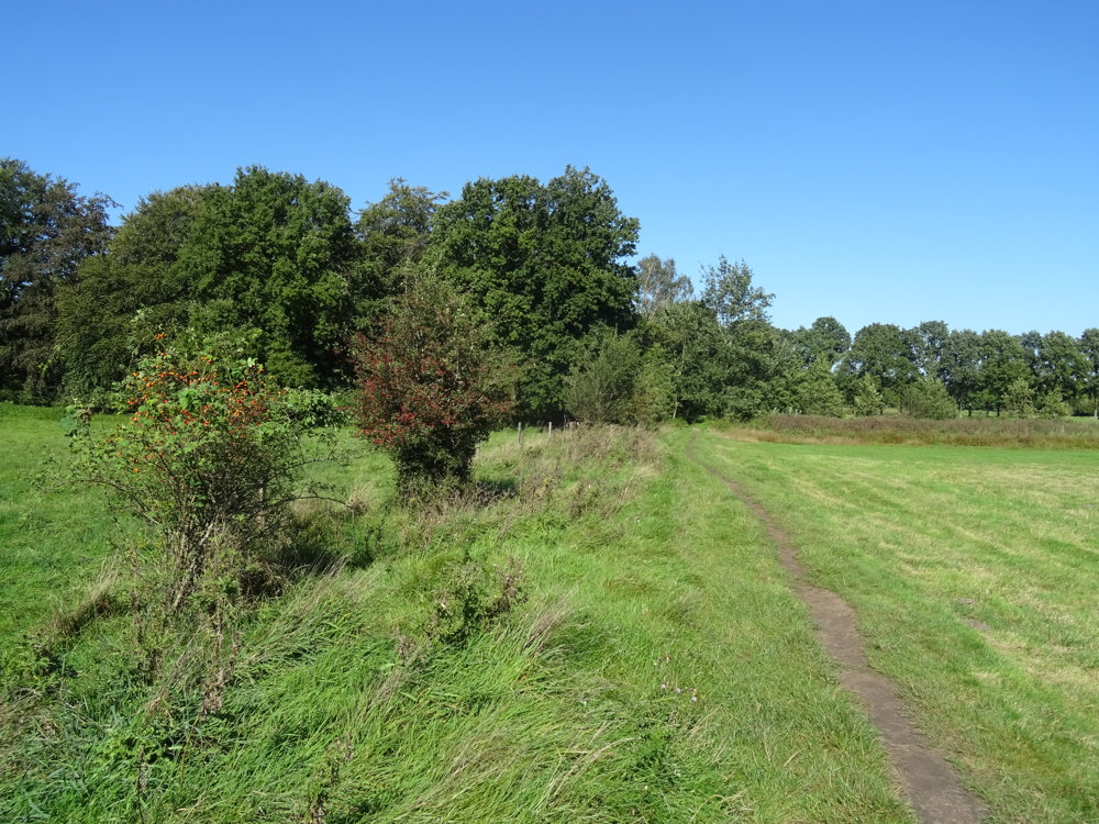
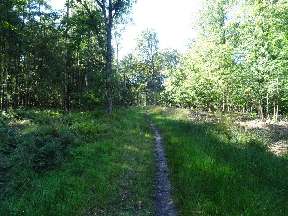
This walk is completely unpaved, it is a 100% forest walk.
At the end of August (depending on the weather) you will find a lot of purple heather there.
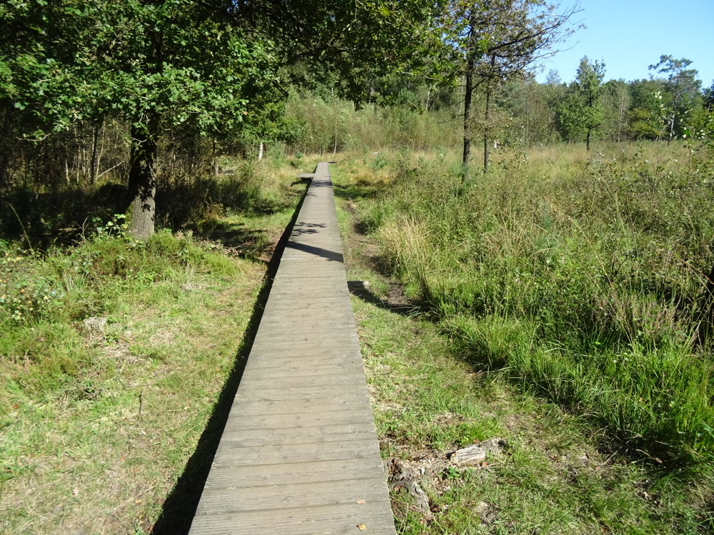
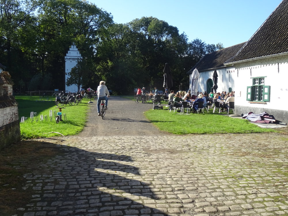
You can also walk over the many boardwalks. At the Drongengoedhoeve, which you will encounter on the walk, you can have a drink or something to eat, but in good weather it is super busy.
In the vicinity of the Drongengoedhoeve, there is a beautiful play area for children.
automatic translation
 nodes to follow
0 km
0.3 km
1 km
2.1 km
2.2 km
3.1 km
3.7 km
4.5 km
4.7 km
5.7 km
6.3 km
6.4 km
7.1 km
7.4 km
7.6 km
7.8 km
8.1 km
8.3 km
8.6 km
8.9 km
Saturday, May 30, 2026 by K.D.I really enjoyed it 😉
automatic translation
Tuesday, November 11, 2025 by A.V.very nice but occasional problem with navigation knp 12
automatic translation
Sunday, May 18, 2025 by A.V.What a blissful walk ! Only greenery, birds, silence .... Waw
automatic translation



 Upgrade to Premium Plus


