
 Hiking
 Login
Login
 More
More
 EN
EN
 Premium
Demer- en Dijlewandeling
12 km • Rotselaar
 official route
4.1556 7 3.8/5
route offered by

 Addresse starting point (approximate)
Vakenstraat 18, 3110 Rotselaar
 signage
The route is fully signposted with nodes.
 Description
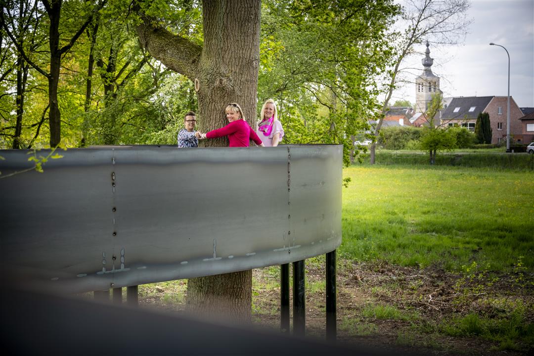
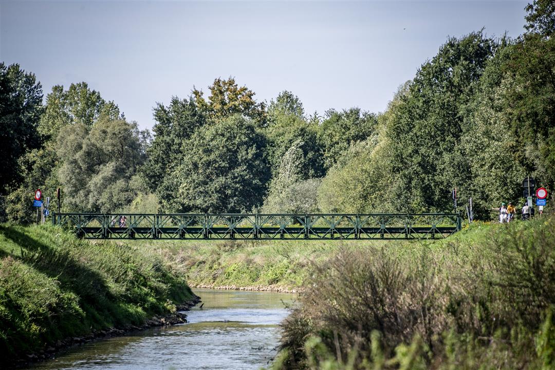
Your varied journey through the land of the Demer and Dijle rivers begins at “De Plas van Rotselaar” and takes you along mostly traffic-free paths and rustic roads to the picturesque village center of Wakkerzeel. Fields and meadows then lead you to Werchter, where the two rivers converge just a stone’s throw from the country’s most famous rock festival venue. On the way back to De Plas, you’ll follow the Demerdijk and pass the Demertrefplaats, with its elevated path winding through the canopy of the old oak trees.
automatic translation
 nodes to follow
0 km
0.2 km
0.4 km
1.8 km
3.6 km
3.6 km
5.3 km
6.4 km
6.9 km
7.5 km
8.3 km
9.1 km
10.3 km
11.2 km
12 km
Saturday, August 22, 2026 by Judith CockxThe marker at junction 636 is lying on the ground
automatic translation
Thursday, April 24, 2025 by C.B.A pleasant and varied walk: small villages, a few churches, a lock, a dyke, fields, woods... Between points 610 and 628, a small pond offers a charming frog concert (on a rainy day, anyway). At 609 (not part of the itinerary), a castle stands out: a short detour from 610 is in order.
automatic translation
Monday, May 24, 2021 by A.H.Beautiful hike, very well signposted. luckily we had chosen the "right" side for the towpath along the Demer (first took the signposted side, far too crowded by fast cyclists). You do miss the rest point at the Demer.
automatic translation
Sunday, May 2, 2021 by J.W.Beautiful hiking trail. Good mix of hiking trails. Better to replace the last part on the towpath by walking on the other side of the Demer. This way you are not bothered by the many cyclists.
automatic translation
Wednesday, January 27, 2021 by F.V.Was a bit disappointing. Especially that much too long stretch along the Demer on a too narrow paved towpath. Good for the many cyclists, not so much for walkers, and fairly unsafe for that reason.
automatic translation
Monday, June 1, 2020 by K.V.Beautiful hike. But less suitable in summer because a whole part is in flat sun. Little shade therefore.
automatic translation
Tuesday, February 26, 2019 by C.S.Very nice walk
Really worthwhile
Very quiet in some places
Really enjoyed it
automatic translation



 Upgrade to Premium Plus


