
 Hiking
 Login
Login
 More
More
 EN
EN
 Premium
Piervenshoekwandeling
6.2 km • Tremelo
 official route
3.9565 2 3/5
route offered by

 Addresse starting point (approximate)
Haachtsebaan 172, 3140 Keerbergen
 signage
The route is fully signposted with nodes.
 Description
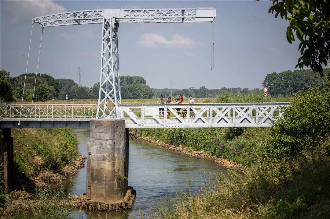
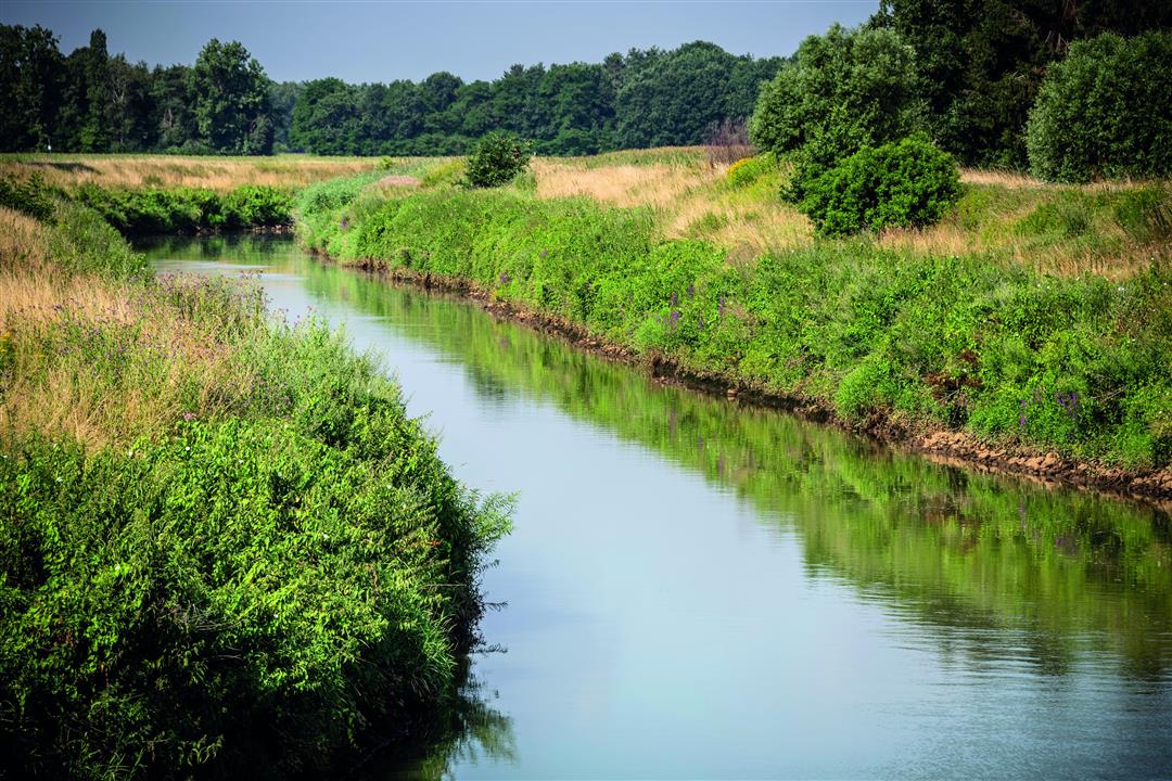
Follow the meandering course of the Dijle River through Piervenshoek, a remote corner of Keerbergen with a very rural feel. Take a walk through the Piervensbos, where children can have a blast in the play area, and pass by a bunker with a three-kilometer-long anti-tank trench. Cross the Oude Hansbrug, a cast-iron bridge from the nineteenth century. Well, not quite—since the original bridge had completely rusted away, this exact replica, made from the same materials, was unveiled in 2005.
automatic translation
 nodes to follow
0 km
1.3 km
2.7 km
2.7 km
4.5 km
5.1 km
5.5 km
6.2 km
Sunday, September 19, 2021 by M.M.Nice walk. First part next to the water, then nice looking at houses. Too bad there is no parking at the starting point. You have to park a bit further on the street. Also no opportunity for drinks/snacks afterwards.
automatic translation
Friday, February 15, 2019 by C.J.The dikes along the meandering Dijle are magnificent - especially in first morning light, the bridge provides beautiful photos .the second part is interesting for curious "big houses" viewers :)
automatic translation



 Upgrade to Premium Plus


