 Hiking
 Login
Login
 More
More
 EN
EN
 Premium
Round well
automatic translation
10 km • Mol
3.4285 1 4/5
10 km
0.0 km
0.0 km
route offered by
Toerisme Provincie Antwerpen
 Addresse starting point (approximate)
Parking in Abdijlaan 10
 signage
The route is fully signposted with nodes.
© Visit Mol
 Description
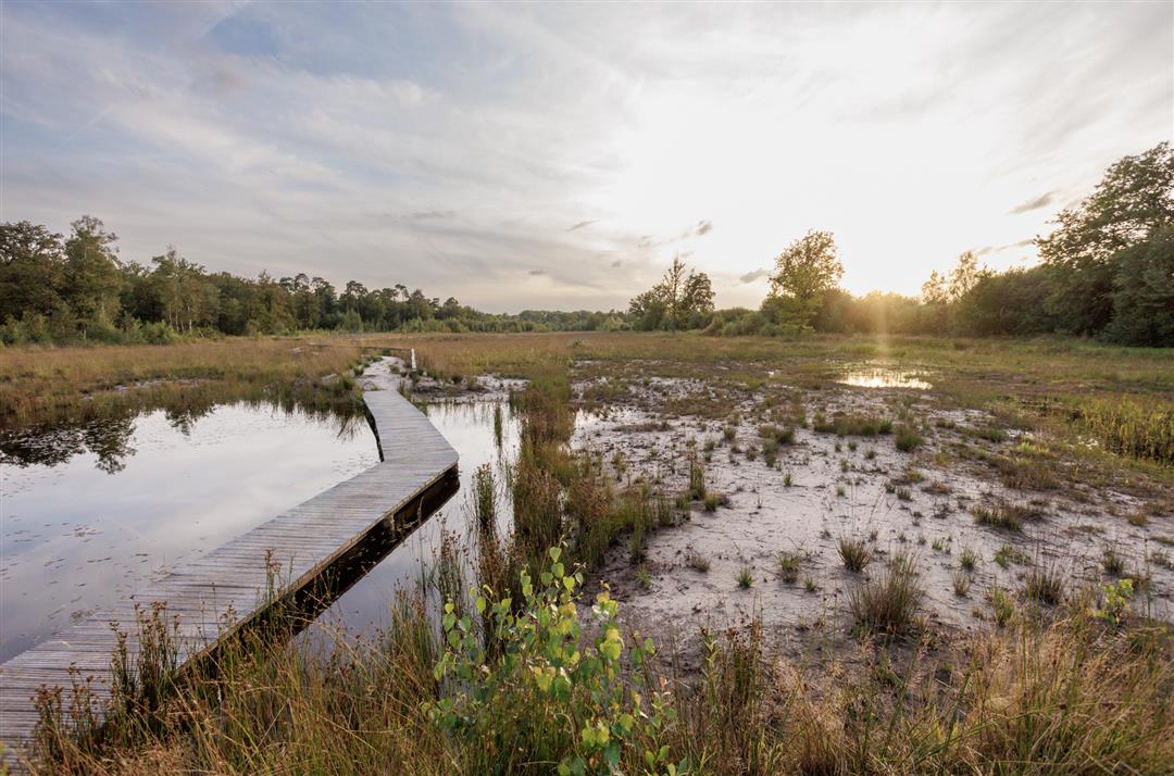
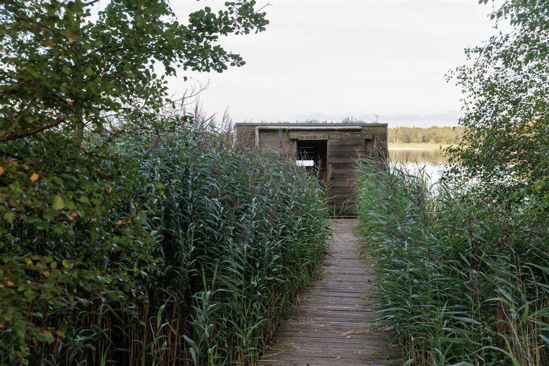
The Round Well? That's over 165 hectares of pristine nature on the border between Mol and Retie. European top! You will discover a photogenic lake surrounded by marshes, reed beds, forests and grasslands. Enjoy the wonderful silence and be sure to dive into one of the two bird-watching huts. Bring your binoculars and spot rare water and birds of prey. From the little kingfisher to impressive falcons.
With attractions: the Abbey of Postel and several bird-watching huts.
automatic translation
 nodes to follow
0 km
0.6 km
1.1 km
1.2 km
2.9 km
5.2 km
5.6 km
6.5 km
9.3 km
9.9 km


 Upgrade to Premium Plus
