Loading...

Painters trail - 14.5km

automatic translation

14.5 km • Mol

Icon official route official route

2690 0 0/5

14.5 km 0.0 km 0.0 km

route offered by

Badge of official route

more info

Icon starting point Addresse starting point (approximate)

Parking in Achterbos 80 / halte Mol Achterbos met bus

Icon type signage of route signage

The route is fully signposted with nodes.

5m 5m 5m 5m
Atmosphere image 1 of route Painters trail - 14.5km
© Visit Mol

Icon description route Description

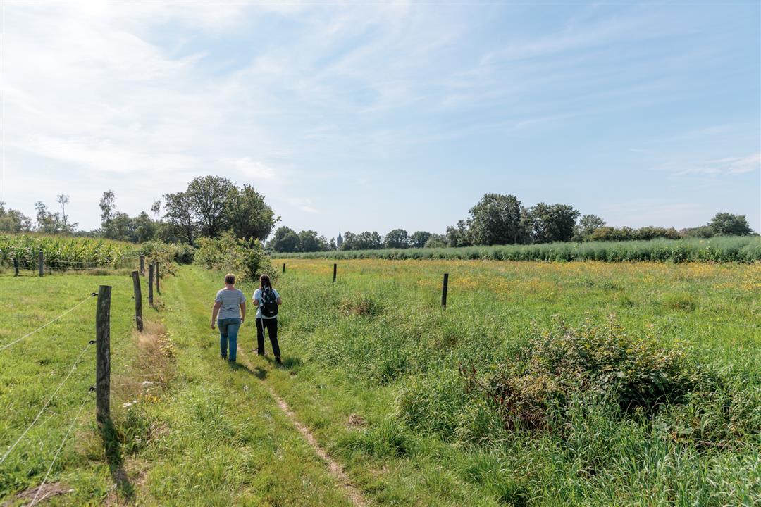
Not for nothing did this environment inspire a whole school of painters of whom Jakob Smits and Dirk Baksteen are the best known. The highlight here is the Way of the Cross of the Fifteen Chapellekens. Also enjoy a beautiful rest at the Feynends Heike, a beautiful piece of purple among the predominantly green coniferous trees.

automatic translation

Icon nodes to follow nodes to follow

Image node 44
0 km
Image node 43
0.5 km
Image node 41
1.2 km
Image node 40
2.5 km
Image node 42
2.8 km
Image node 75
3.1 km
Image node 76
4.7 km
Image node 77
6.6 km
Image node 80
7.1 km
Image node 81
7.2 km
Image node 82
7.7 km
Image node 82
7.8 km
Image node 83
8.3 km
Image node 62
8.5 km
Image node 64
8.8 km
Image node 63
9.3 km
Image node 69
9.8 km
Image node 69
9.9 km
Image node 67
10.3 km
Image node 68
10.7 km
Image node 70
11.1 km
Image node 72
11.4 km
Image node 71
12.1 km
Image node 49
12.3 km
Image node 48
12.4 km
Image node 73
13.2 km
Image node 46
13.5 km
Image node 47
13.7 km
Image node 44
14.6 km

Alternative versions

10 km

Painters trail (loop of 10km)

Bekijk route
6 km

Painters trail (loop of 6km)

Bekijk route
This route does not have any reviews yet. Be the first!
Rate route!

Which POI do you want to show on the map?

Experimental hiking network
Unsigned icon

The route you have chosen runs (partly) along an experimental virtual hiking node network (the blue-coloured nodes and sections on the map).

You must be logged in to plan routes here.

Experimental hiking network
Unsigned icon

The route you have chosen runs (partly) along an experimental virtual hiking node network (the blue-coloured nodes and sections on the map).

These routes are not controlled in the field. Before you start hiking here, take a minute to read what an experimental hiking node network is and what rules you should follow when hiking here.