 Hiking
 Login
Login
 More
More
 EN
EN
 Premium
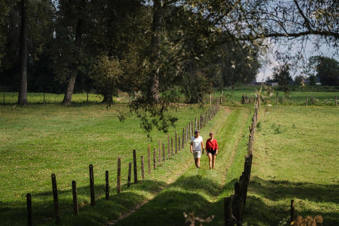
Den Dotter hiking trail
automatic translation
11.3 km • 9450 Haaltert
 official route
7.03830 8 4.6/5
route offered by
 Addresse starting point (approximate)
Landries 1, 9450 Haaltert
 signage
The route is fully signposted with nodes.
 Description
At a stone's throw from Aalst, between Haaltert and Erpe-Mere, you step through a wonderful mix of natural landscapes, meadows, trouser woods and sloping coulter areas. Den Dotter derives its name from the kingcup which colors the grasslands here yellow in the spring, but also during the rest of the year this hiking trail is a hit.
automatic translation
 nodes to follow
0 km
0.5 km
1.1 km
2.3 km
3.2 km
3.6 km
4.7 km
5 km
6.7 km
7.2 km
7.9 km
8.7 km
9.1 km
11.3 km
Sunday, April 26, 2026 by Toon CoussementSo beautiful—I didn't expect that at all in that area, especially in dry weather
automatic translation
Thursday, April 9, 2026 by Yvan BautersA very nice walk, almost entirely through nature; however, the path between junction 9 and junction 96 was impassable due to erosion caused by the local stream, so we took a short detour.
automatic translation
Sunday, March 22, 2026 by P.U.A really lovely walk. Even though I’ve lived in the area for years, this walk has still introduced me to many beautiful paths and natural spots.
automatic translation
Wednesday, September 10, 2025 by Susy Theysvery nice hike and completely able to do it without mud. It did involve a very dry period.
automatic translation
Saturday, August 9, 2025 by Jens De Saeghernice accessible hiking trail for the trained hiker ( it is mostly ofroad and it is definitely not flat), a maintenance is sometimes appropriate as on all other hiking trails of course. no problems experienced.
automatic translation
Sunday, November 3, 2024 by Pé TinaDeparture heldergem nr 15 easy parking..nice walk halfway stopped to serve a terrace..highly recommended!!!!
automatic translation
Friday, September 20, 2024 by Greta Coolsvery nice route - relaxation - untouched nature - sheep, lots of horses - lots of unpaved ground - silence - distant views - heights - depths... one to my heart
automatic translation
Sunday, August 11, 2024 by K.S.beautiful route, good signage, right through nature, BUT the start is difficult to find, tip: start at number 15 (church herdergem + parking) -paths poorly maintained, at the fish pond you must turn in number 29 little further you really come in swamp area, not dry to walk, even through the weeds aside, stepped 11/824/, sorry for this beautiful route
automatic translation


 Upgrade to Premium Plus
