 Hiking
 Login
Login More
More EN
EN Premium
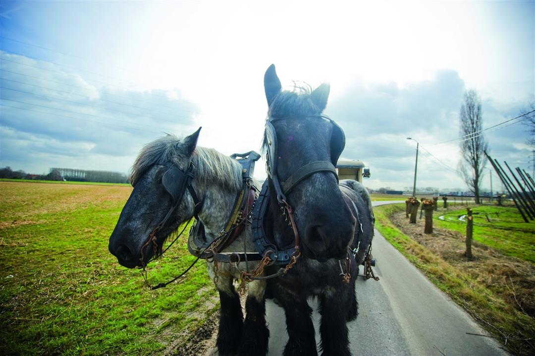
Art Village Walk
automatic translation
6.3 km • Haacht
 official route
route offered by
 Addresse starting point (approximate)
Sint-Hubertuskerk, 3150 Wakkerzeel (Haacht)
 signage
The route is fully signposted with nodes.
 Description
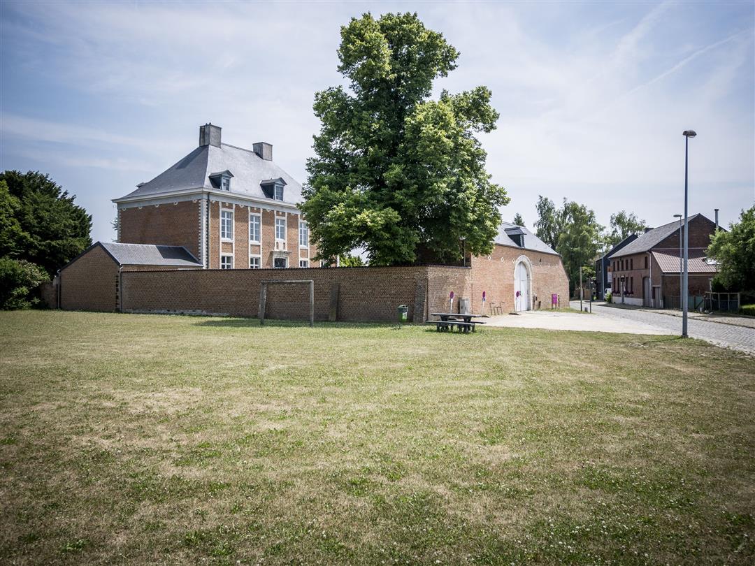
The art village walk leads you through picturesque Wakkerzeel, once nominated as a candidate for the "Most Beautiful Village of Flanders," as you walk past the village's most beautiful buildings such as the centuries-old presbytery. The presbytery, protected since 1947, was built in 1758 by Ferdinandus De Loyers, abbot of Park Abbey. In the nature reserve Antitankgracht you can enjoy the peace and quiet.
This walk is offered by Tourism Flemish Brabant.
automatic translation
 nodes to follow
0 km
0.1 km
1.3 km
1.6 km
2.5 km
3 km
3.6 km
3.9 km
4.4 km
4.6 km
5.9 km
6.3 km
Wednesday, February 17, 2021 by Dirk MeeusBeautiful hike worth repeating. Starting point is accessible via the road between Werchter and Haacht. There are still works via the other approach roads.
automatic translation
Friday, July 3, 2020 by J.J.Too bad that in Wakkerzeel some signposts disappeared! Maybe just give Viabuild a heads up!
automatic translation
Monday, January 6, 2020 by Herman Van den ReeckSeemed to be a nice hike. Unfortunately the center of Wakkerzele was open and after taking a detour to get to the church there was no parking at all. I took the car to Werchter.
automatic translation


 Upgrade to Premium Plus
