 Hiking
 Login
Login More
More EN
EN Premium
Dyle Valley Walk
automatic translation
12 km • Haacht
 official route
route offered by
 Addresse starting point (approximate)
Sint-Adrianuskerk, Vijfhoekweg 6, 3150 Haacht
 signage
The route is fully signposted with nodes.
 Description
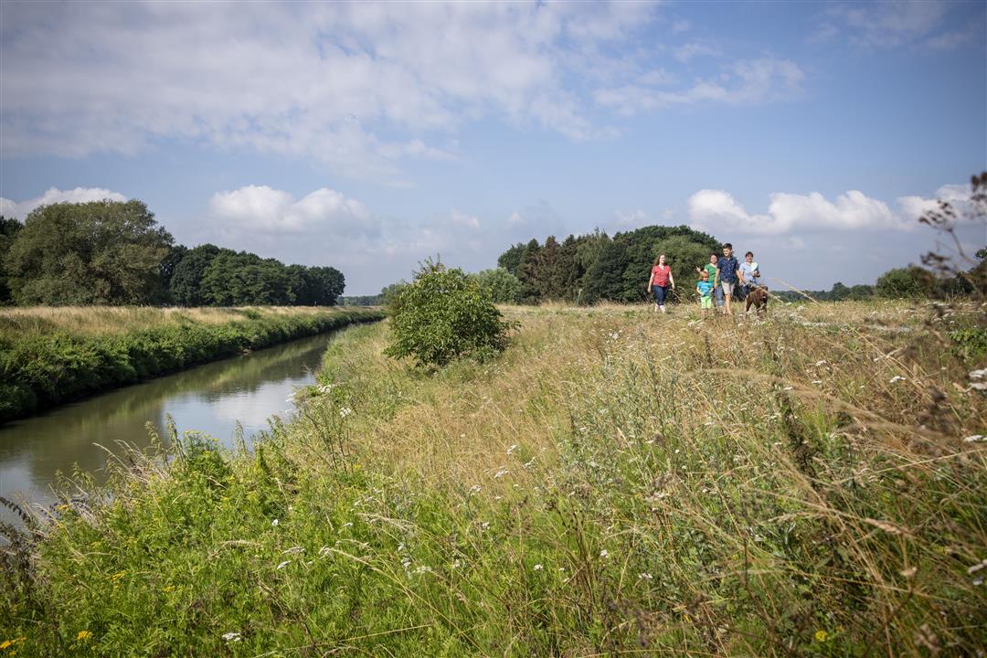
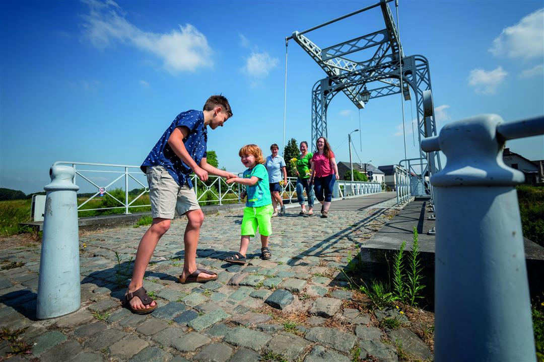
With the Dijle as your guide, you'll pass some beautiful areas, such as nature reserve Hooiberg which is located on a sandy donk. The Dijle brought sand to the foothills of the Zuiderkempen, good for an enormous variety of life in the dijle valley and cut out for asparagus cultivation. Also take a look from the Old Hans Bridge. The original cast iron drawbridge dates back to 1893, since 2005 there is an exact copy over the Dijle.
This walk is offered by Tourism Flemish Brabant.
automatic translation
 nodes to follow
0 km
0.2 km
1.1 km
1.5 km
1.9 km
2.4 km
4.1 km
5.6 km
6.8 km
7.1 km
9.2 km
11.2 km
11.4 km
12 km
Tuesday, July 27, 2021 by Joris BrIt is a very nice hike, but the starting point 507 is not accessible by car or public transport, so it is better to take as starting point 502, there is also parking on site. (Maybe the webmaster can change the departure point ? )
automatic translation


 Upgrade to Premium Plus
