
 Hiking
 Login
Login
 More
More
 EN
EN
 Premium
Dijlevalleiwandeling
12 km • Haacht
 official route
5.94512 4 4/5
route offered by

 Addresse starting point (approximate)
Sint-Adrianuskerk, Vijfhoekweg 6, 3150 Haacht
 signage
The route is fully signposted with nodes.
 Description
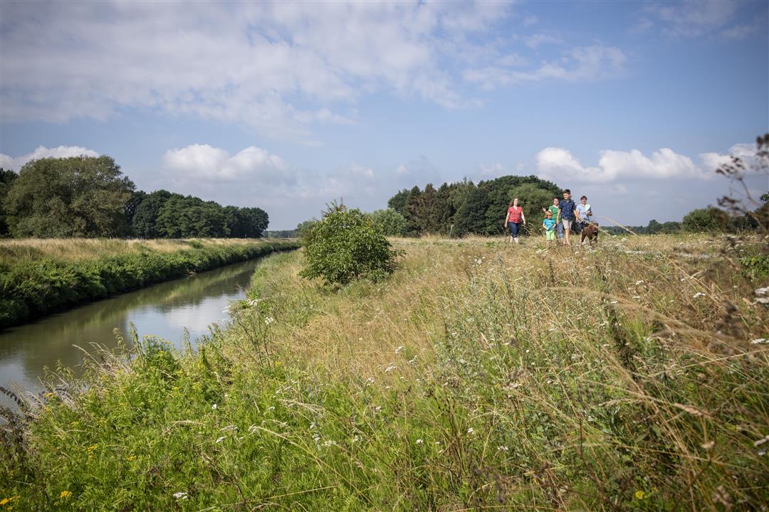
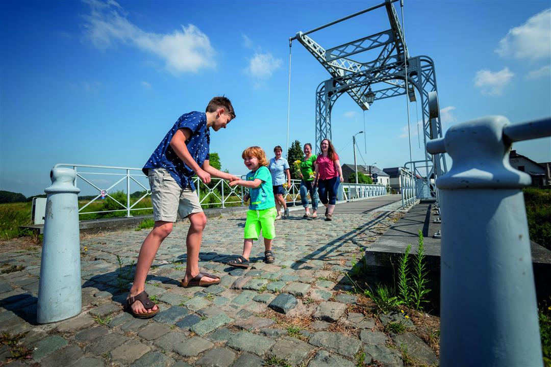
With the Dijle River as your guide, you’ll pass through some beautiful areas, such as the Hooiberg Nature Reserve, which is situated on a sandy hill. The Dijle River carried sand to the foothills of the Zuiderkempen, fostering an enormous variety of life in the Dijle Valley and creating ideal conditions for asparagus cultivation. Be sure to take a look from the Oude Hansbrug. The original cast-iron drawbridge dates back to 1893; since 2005, an exact replica has spanned the Dijle.
automatic translation
 nodes to follow
0 km
0.2 km
1.1 km
1.5 km
1.9 km
2.4 km
4.1 km
5.6 km
6.8 km
7.1 km
9.2 km
11.2 km
11.4 km
12 km
Sunday, January 25, 2026 by maureen jeanVery beautiful route.
automatic translation
Sunday, June 8, 2025 by Nancy Van HoofDid this hike today and left from node 502. Lovely nature !
automatic translation
Monday, February 23, 2026 by Thierry L'Orfevre Hello, do you happen to have the address where junction 502 is located? Thank you.
automatic translation
Sunday, November 10, 2024 by Françoise VliegerBeautiful hike, partly along the Dyle. I've done it several times and will do it again. It's practical because there's no muddy section. This hike can be done all year round. I recommend it.
automatic translation
Tuesday, July 27, 2021 by Joris BrIt is a very nice hike, but the starting point 507 is not accessible by car or public transport, so it is better to take as starting point 502, there is also parking on site. (Maybe the webmaster can change the departure point ? )
automatic translation



 Upgrade to Premium Plus


