
 Hiking
 Login
Login
 More
More
 EN
EN
 Premium
Drie Torenwandeling
12.2 km • Boortmeerbeek
 official route
3.9987 4 3.8/5
route offered by

 Addresse starting point (approximate)
Pastorijstraat 2, 3190 Boortmeerbeek
 signage
The route is fully signposted with nodes.

 Description
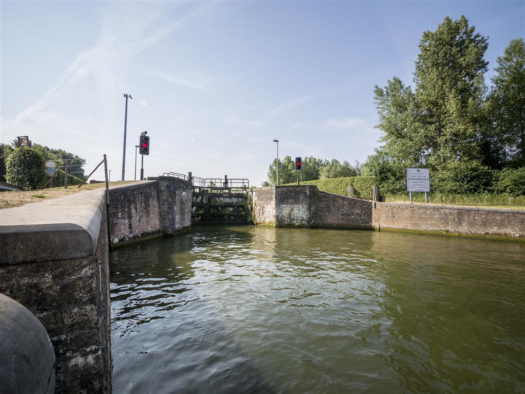
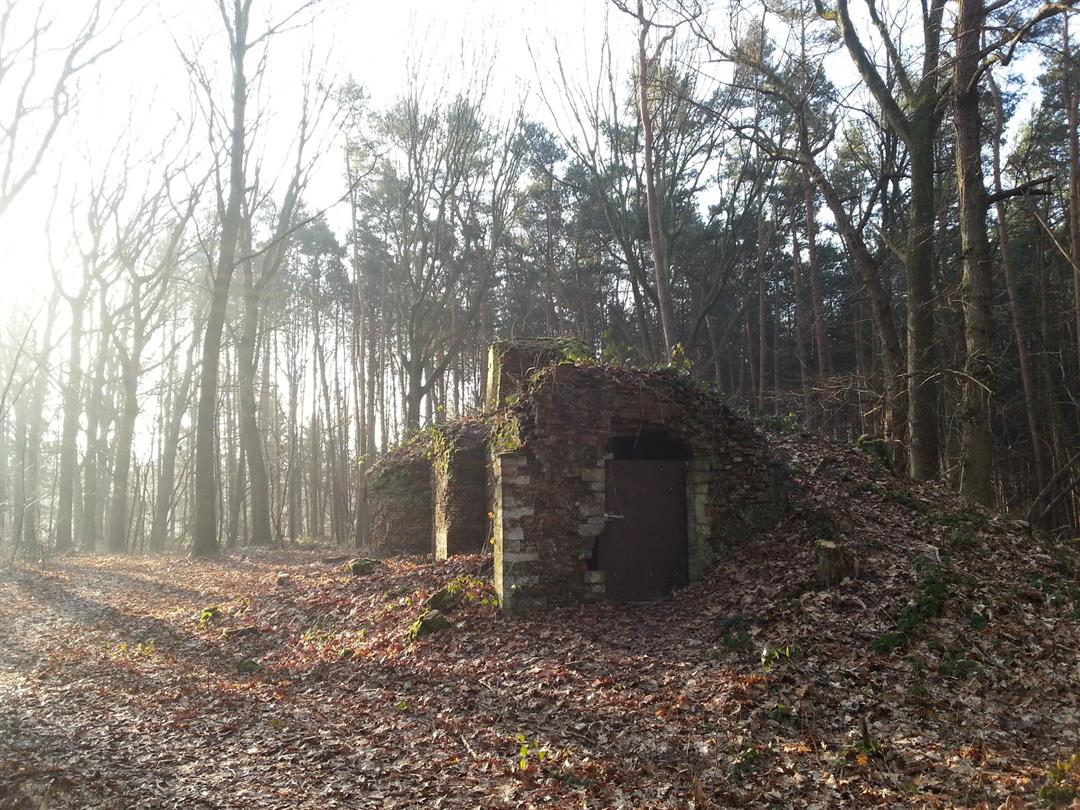
You’ll walk from church tower to church tower, from Boortmeerbeek to the boroughs of Hever and then Schiplaken. Along the way, you’ll first cross the railroad tracks, then the Leuvensesteenweg, and finally the Leuven-Dijle Canal—the three straight thoroughfares that cut through the municipality. In between, you’ll discover beautiful natural scenery and charming historic buildings, such as the 17th-century Servaes watermill and the Donkhoeve, which was first mentioned as early as 1696.
automatic translation
 nodes to follow
0 km

0.1 km
0.1 km
0.2 km
2 km
2 km
2 km
2.4 km
2.6 km
3.2 km
5.7 km
6.5 km
7.8 km
7.9 km
9.8 km
10.3 km
10.7 km
11 km
12 km
12.1 km

12.2 km
Sunday, March 5, 2023 by Werner LaeversBeautiful, quiet walk. Almost all paved road though.
automatic translation
Saturday, November 14, 2020 by tim dingemansvery nice walk along fields, forests and village centers of Boortmeerbeek. Ideal to get to know the community better. Only minus point is that one part of this hike is not signposted (namely the part between the Leuvensesteenweg and the church of Boortmeerbeek).
automatic translation
Sunday, October 13, 2019 by B.V.Fun walk along hiking/foot and other "low traffic" roads throughout the community. A different view of BMB and all the beauty to be enjoyed here.
automatic translation
Sunday, September 29, 2019 by Eve RoseFor the French-speaking readers :
https://matrotteenclic.wordpress.com/2019/09/29/drie-torenwandeling-boortmeerbeek/
automatic translation



 Upgrade to Premium Plus


