
 Hiking
 Login
Login
 More
More
 EN
EN
 Premium
Station Steward Lierde-Ronse
automatic translation
28 km • Lierde
 official route
3.6058 1 3.5/5
route offered by

 Addresse starting point (approximate)
NMBS Station, Lierde, Oost-Vlaanderen
 signage
The route is fully signposted with nodes.
 Description
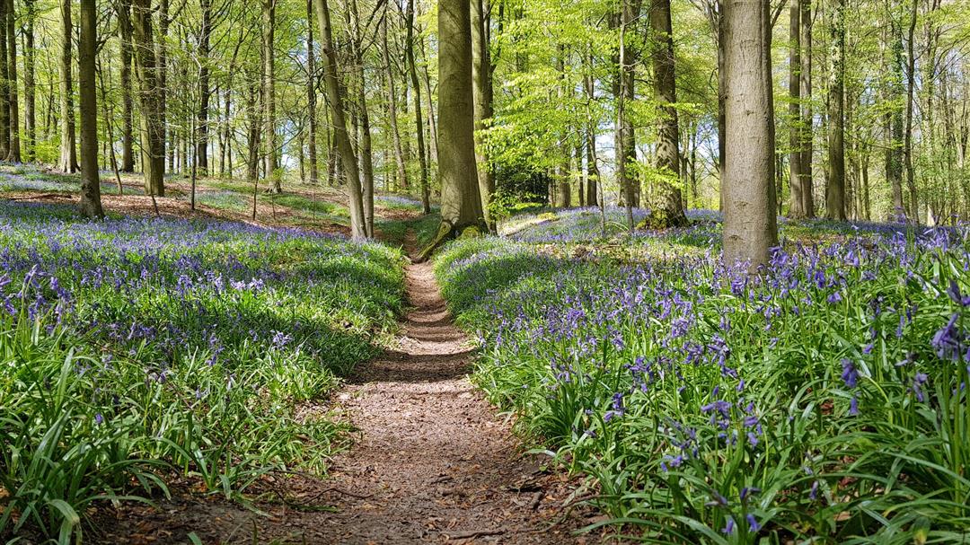
This day trip takes you from the station of Lierde all the way to that of Ronse. On the way you cross the most famous forests of the Flemish Ardennes and brave the steep hills for which they are famous. If you follow the route in the spring, you will pass not once, but four (!) times along the wood hyacinths. Literally a real winner!
automatic translation
 nodes to follow
0 km
0.5 km
1.5 km
2.5 km
3.1 km
4.6 km
6 km
6.4 km
7 km
7.7 km
7.8 km
8.2 km
9.2 km
10 km
10.9 km
11.3 km
11.9 km
13.3 km
14 km
14.1 km
15.2 km
17.4 km
18.4 km
20.4 km
21.8 km
22.3 km
22.3 km
22.5 km
22.8 km
23.9 km
27.1 km
27.8 km
Friday, May 23, 2025 by sarah van laerFirst part crisscrossed through uninspiring villages , and almost all the time on asphalt. Only beautiful from kilometer 10, and then more beautiful and then most beautiful
automatic translation
Tuesday, August 19, 2025 by Glenn Du VilleThe problem with the beginning of this route is that you "narrowly miss" interesting elements.
For example, the route starts at node 54 only to go via 53 to 55 (at the back of the church in Sint-Martens-Lierde) and then you go straight on to node 57. So you completely miss the old Carthusian site in Sint-Martens-Lierde.
automatic translation
Tuesday, August 19, 2025 by Glenn Du VilleIf you walk from the starting point junction 54 directly to junction 55, you walk a bit more on paved roads, but at least you walk through the Carthusian site. The detour via node 53 seems artificially chosen to get a little more nature in the route, but you get plenty of that in the second part of the route.
automatic translation



 Upgrade to Premium Plus


