 Hiking
 Login
Login
 More
More
 EN
EN
 Premium
Hagevenpad
automatic translation
6.5 km • Pelt
 official route
3.1654 2 4.5/5
route offered by
 Addresse starting point (approximate)
Tussenstraat 10 Pelt
 signage
The route is signposted with thematic signs (no nodes). You can use a GPS device or our app to follow the route through the virtual nodes.
 Description
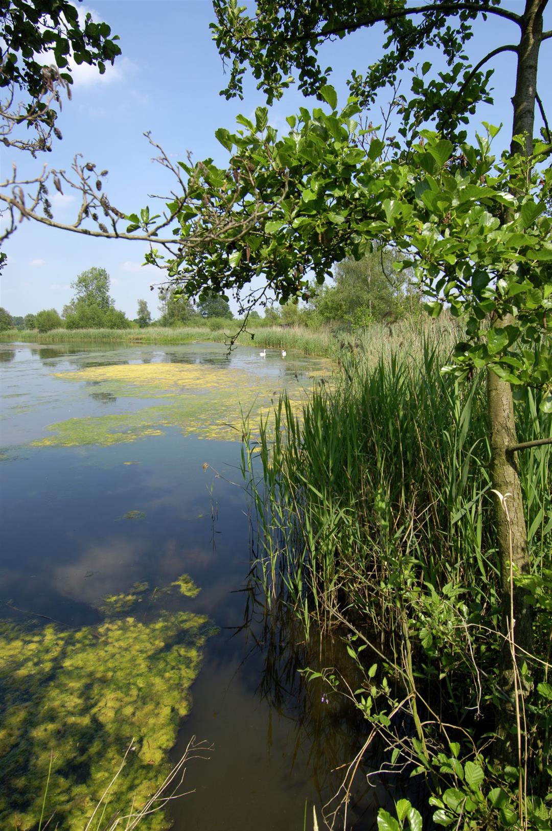
Nature knows no boundaries, and certainly not in northern Limburg. A 600-hectare oasis of heathland, fens, forests and grasslands spreads across Belgium and the Netherlands. Here in the Hageven - De Plateaux the Dommel river meanders its way through this beautiful landscape.
Natuurpunt carefully manages this area that stretches across the national border as a patchwork of different types of nature. Hay fields, grasslands and heaths alternate with fens and ponds. In every season you can enjoy the tranquility of the landscape. Birdwatchers get their money's worth here, not only because of the oddballs that reside in that area, but all the more so with 2 bird-watching huts in the perfect spots. Smiling at the little bird? The Instagram hotspot on this trail is the adventurous suspension bridge over the Dommel River!
automatic translation
 nodes to follow
0 km
0.3 km
0.8 km
2.1 km
2.7 km
4.5 km
4.7 km
6 km
6.4 km
6.5 km
Friday, March 6, 2026 by Joke MaesBeautiful walk with lots of variety. Geese and ducks everywhere in early March. So beautiful.
automatic translation
Tuesday, September 2, 2025 by Jan D'halleweynespecially second part beautiful, unfortunately a lot of noise from nearby highway
automatic translation


 Upgrade to Premium Plus
