 Hiking
 Login
Login
 More
More
 EN
EN
 Premium
Scherpenbergen-De Hutten
automatic translation
14 km • 2450 Meerhout
6.72417 3 5/5
route offered by
Toerisme Provincie Antwerpen
 Addresse starting point (approximate)
Watermolen 7 2450 Meerhout
 signage
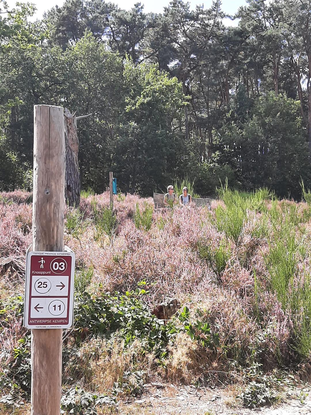
The route is fully signposted with nodes.
 Description
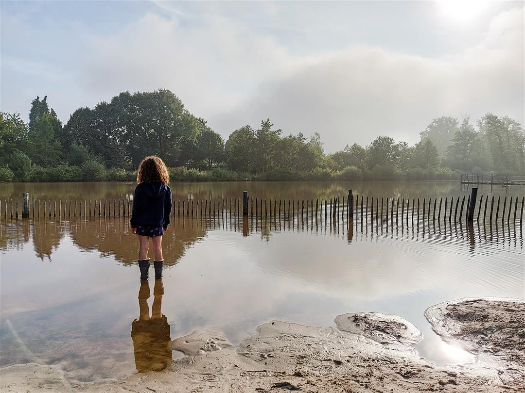
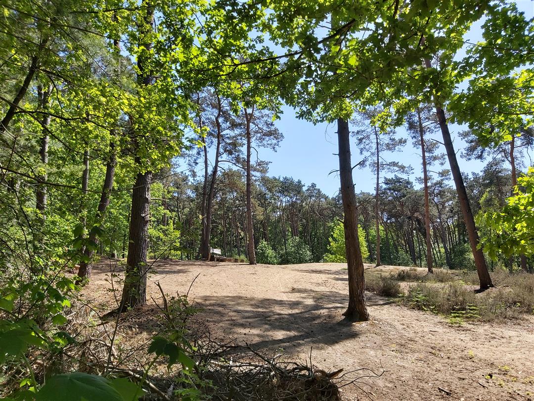
The 14km hike Scherpenbergen-De Hutten combines all the beauty that makes the 1200 ha Great Nete Forest Natural Park so varied and special. Along the banks of the slow-flowing Grote Nete, meandering through a green stream valley where dragonflies and the great yellow wagtail feel at home, you walk along the edge of the wet Belsbroek to the wooded area of De Hutten. Here you experience the tranquility of two unadulterated European top nature reserves. 'De Kwacht' is a beautifully managed low moor where you can't stop looking at the surroundings from the bench on the old land dune. In turn, 'De Keyfheide' is a remarkable remnant of the region's once vast heathlands. Look for the timid viviparous lizard in a sunny spot.
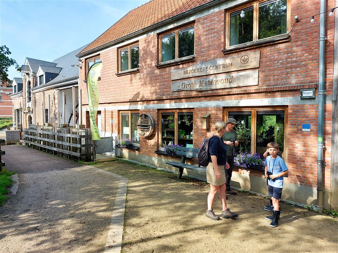
You can start and end the hike at the site of the beautifully renovated 17th-century water mill in Meerhout, which Natuurpunt set up as an attractive visitor center. The river literally flows through the building. Here you can relax with a drink while children romp around in the play area.
automatic translation
 nodes to follow
0 km
0.1 km
0.4 km
0.7 km
1.1 km
1.5 km
2.1 km
2.5 km
3 km
3.4 km
3.7 km
4.4 km
4.7 km
4.9 km
4.9 km
5 km
5.4 km
5.4 km
6.3 km
7.1 km
7.2 km
7.2 km
7.8 km
8.2 km
9 km
9.1 km
10.3 km
10.7 km
11.1 km
11.7 km
12.6 km
13.1 km
13.4 km
13.7 km
14.2 km
14.3 km
Sunday, March 9, 2025 by Maurits De rickWe did the hike on 27/02/2025, leaving at the Watermolen in Meerhout (visitor center Great Netewoud). It's a hike with lots of variation in the surrounding landscape. This hike undoubtedly deserves the maximum number of stars. The visitor center at the Watermolen is highly recommended.
automatic translation
Tuesday, October 8, 2024 by Ella TystBeautiful walk, woods, moors, bridges,...this one has it all.
automatic translation
Saturday, March 30, 2024 by bert rouckhoutbeautiful wandelijng there was still a star more could be given she got there 6 very quiet walk you do not come out of nature for almost 100 percent unpaved you come past the luihoeve and the lisse ponds where you can drink something also at the start you can drink something but above all a top walk
automatic translation


 Upgrade to Premium Plus
