
 Hiking
 Login
Login
 More
More
 EN
EN
 Premium
Ronsdonkwandeling
4.5 km • Boortmeerbeek
 official route
3.9357 1 4/5
route offered by

 Addresse starting point (approximate)
Gemeentehuis, Pastorijstraat 2, 3190 Boortmeerbeek
 signage
The route is fully signposted with nodes.
 Description
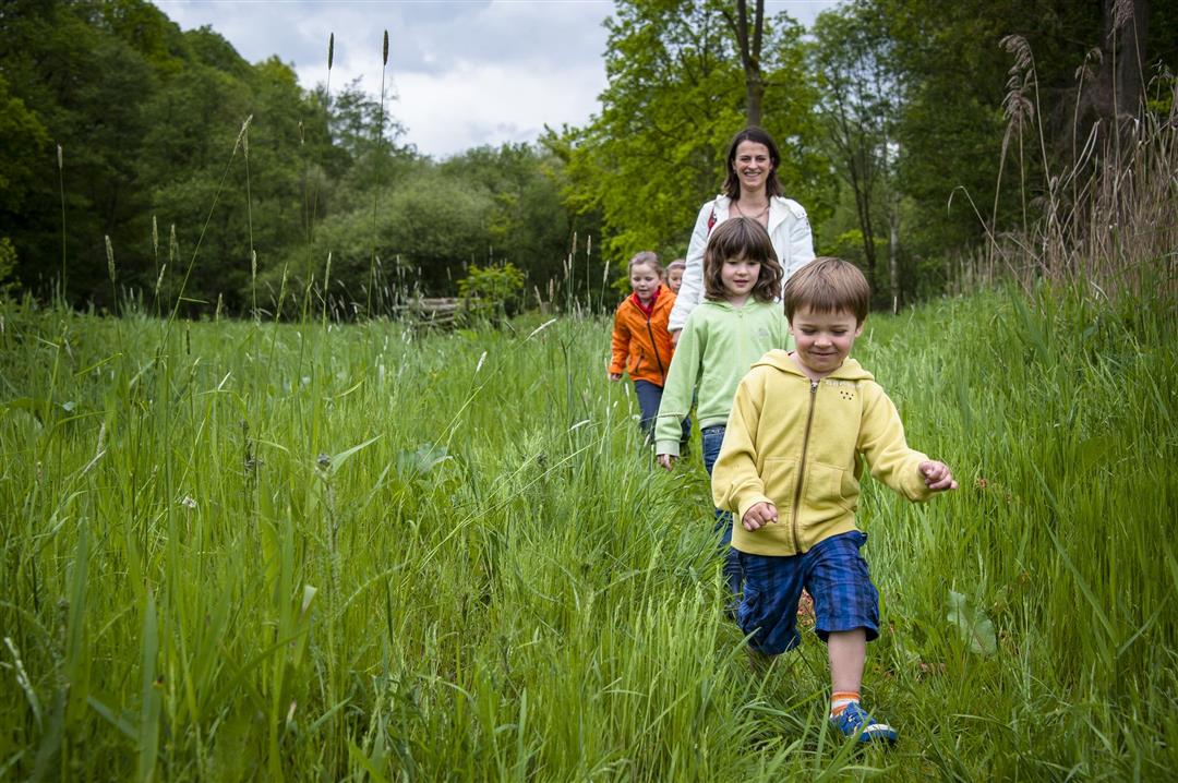
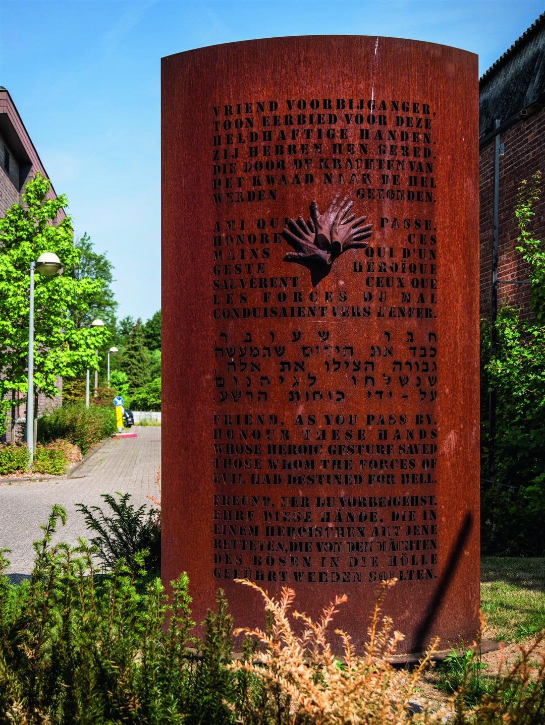
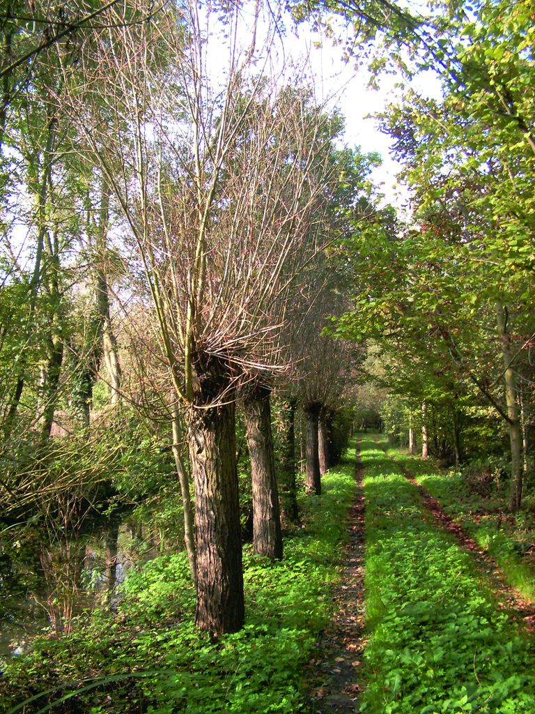
Take a breather in the natural surroundings of the Boortmeerbeeks Broek, a vast valley with wet meadows, marsh forests, farmlands, and a few sandy hills. The meadows, lined with pollarded willows, give the area a typical Flemish rural character. For a short while, you’ll follow the railroad tracks where, on April 18, 1943, three resistance fighters—armed with nothing more than a pistol, a storm lamp, and a piece of red paper—managed to stop a German train transporting Jews. Ultimately, 115 deportees managed to escape.
automatic translation
 nodes to follow
0 km
0.7 km
1.5 km
2.3 km
2.6 km
3.2 km
3.8 km
4.5 km
Sunday, May 10, 2020 by Dean VerschorenSuper nice hike for young and old!
Enjoy a beautiful piece of nature by bike or on foot (possibly with a dog on a leash!).
A unique piece of nature, around which I recently had the opportunity to work out a nice excursion (for secondary school students).
automatic translation



 Upgrade to Premium Plus


