 Hiking
 Login
Login
 More
More
 EN
EN
 Premium
Pleasure Tour Manderfeld - "A quaint land"
15 km • Büllingen
 official route
1.8863 0 0/5
 Addresse starting point (approximate)
Manderfeld 304, 4760 Büllingen
 signage
The route is fully signposted with nodes.
 Description
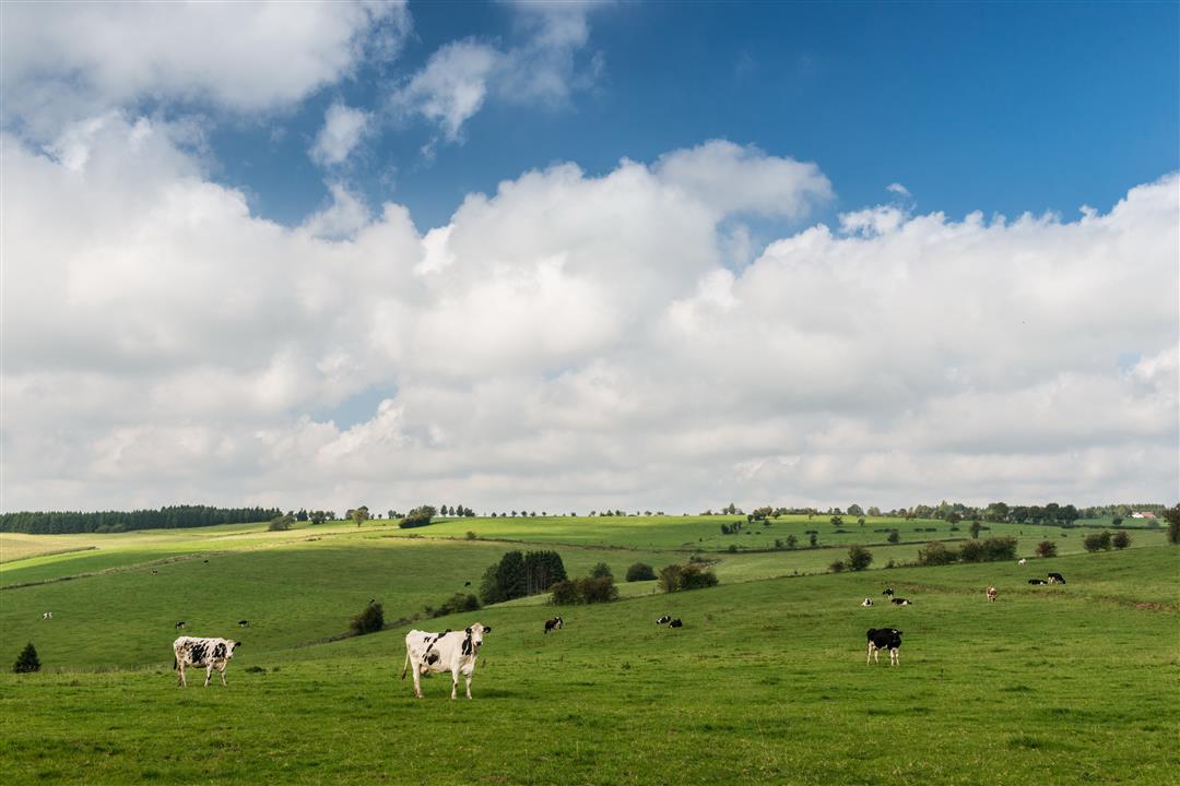
In Manderfeld your view extends uninterruptedly all the way to the horizon. Little villages have settled in the valleys, and they are connected by grey country roads that go up and down the hills. This hiking trail, which runs from Merlscheid steeply downhill to the farms at Afst, features villages, hamlets, chapels and ways of the cross. The Schmidtsbach, the whitewashed farm buildings, the other-worldly landscape: it's rare to see such a harmonious picture of man and nature.
Because of its very remoteness, indeed, Krewinkel became the hub of a smuggler's trade which went to and fro over several ridges between Belgium and Germany. In Weckerath the descent to the headstream of the Our begins. On the opposite bank, Manderfeld stands proud on the hill.
Signposting: 7 - 2 - 26 - 5 - 72 - 10 - 73 - 31 - 4 - 11 - 9 - 13 - 23 - 8 - 21 - 7
Parking: next to the church
Equipment: hiking shoes, a water bottle and a snack
 nodes to follow
0 km
0.2 km
2.9 km
4 km
4.6 km
7 km
7.8 km
8.5 km
9.1 km
10.3 km
11 km
11.1 km
11.4 km
13 km
14 km
15.1 km


 Upgrade to Premium Plus
