 Hiking
 Login
Login
 More
More
 EN
EN
 Premium
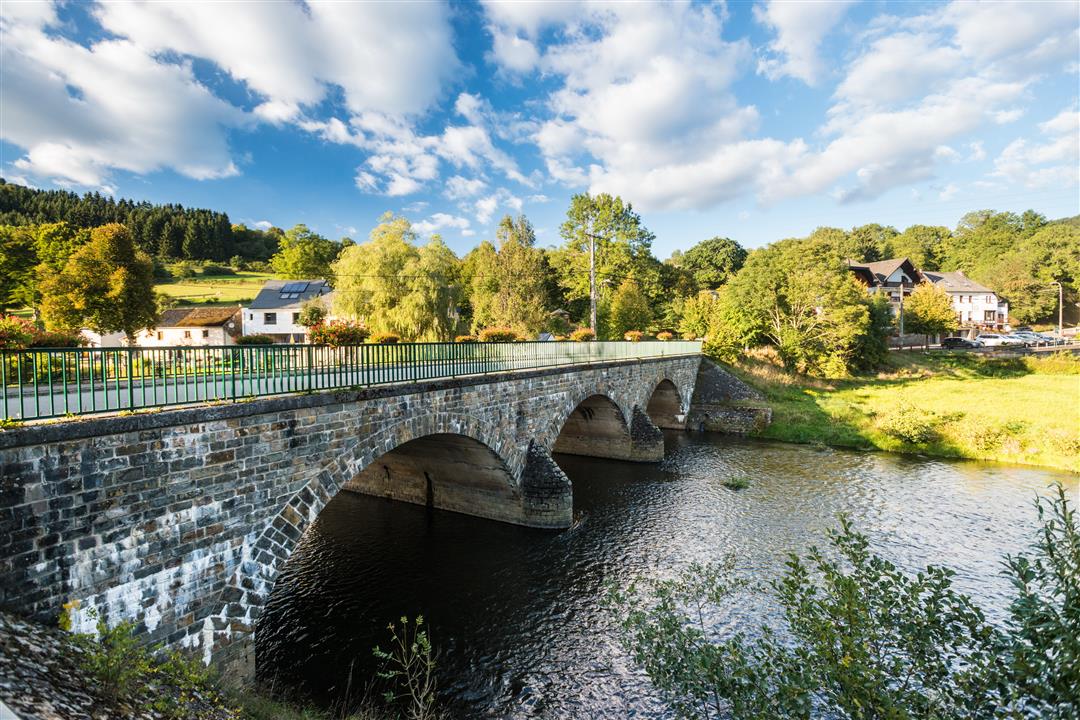
Pleasure tour Ouren - "Down there flows a river"
9.1 km • Burg-Reuland
 official route
2.4845 0 0/5
 Addresse starting point (approximate)
Auf dem Gret, 4790 Burg-Reuland
 signage
The route is fully signposted with nodes.
 Description
Anyone who has been to the Our valley will be captivated by its charm for all eternity. In the shelter of the rock faces, it gets so warm that you might imagine yourself to be travelling in more southern climes.
Ouren is behind us. The route meanders through the landscape as if determined to force the hiker to stop and wonder anew after each bend and feel the magic of this valley. We follow the signs and turn off the road where the village comes to an end, once again climbing a steep slope.
At the top, our efforts are rewarded with a view out over a breathtaking landscape. Out beyond the national borders and as far as the eye can see, there are hills and valleys nestling together. After the forests of the Ardennes, this hill marks the beginning of the Eifel, the other large wooded area on the edge of East Belgium. Ahead of us there are meadows and fields.
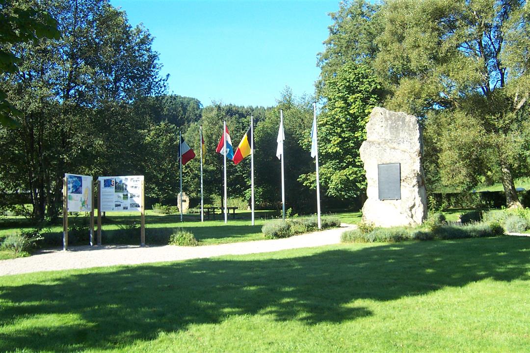
The route into the valley takes us through a spruce wood, brushing past juniper bushes and leading us to the point where the borders of three countries converge: Belgium, Germany and Luxembourg. Lazily, the Our makes its way through the valley. We follow it back into the village.
Signposting: 20 - 25 - 14 - 10 - 18 - 33 - 17 - 20
Parking: in the village Ouren
Equipment: hiking shoes with ankle support
 nodes to follow
0 km
1 km
1.6 km
3.8 km
5.1 km
7.4 km
8.9 km
9.2 km


 Upgrade to Premium Plus
