 Hiking
 Login
Login More
More EN
EN Premium
Silsom forest walk
automatic translation
6.6 km • Kortenberg
 official route
route offered by
 Addresse starting point (approximate)
Sint-Pietersplein, 3070 Erps-Kwerps (Kortenberg)
 signage
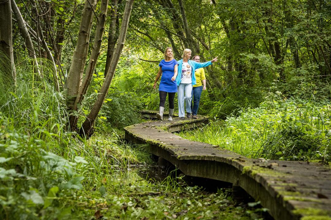
The route is fully signposted with nodes.
 Description
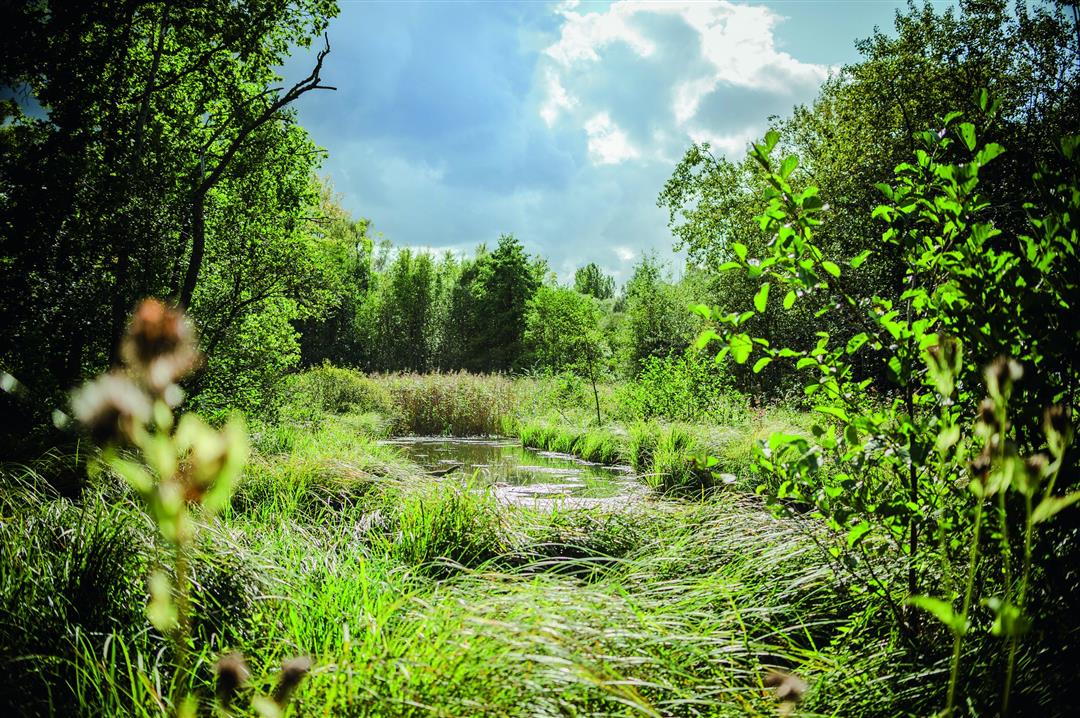
The Silsom forest is enchantingly beautiful all year round, but especially in the early summer sun, when thousands of forest orchids and meter-high giant ponytails bud. This tour will take you to the heart of this mysterious forest. Beware of the Black Madam, to this statue of Mary on the banks of the Mill Creek hangs a dark legend. Choose sturdy walking shoes or boots, because it can get pretty muddy.
This walk is offered by Tourism Flemish Brabant.
automatic translation
 nodes to follow
0 km
0.2 km
0.7 km
2.2 km
2.4 km
3.2 km
3.5 km
4.4 km
5 km
5.9 km
6.4 km
6.6 km
Monday, November 22, 2021 by K.V.If you are looking for rest and relaxation, it is best to look further. Because of the planes flying overhead, you will hardly get any rest. Also, 90% of the walk consists of mud puddles. The walkways are in disrepair so there's no use for those either. You'll be lucky to get off unscathed.
automatic translation
Thursday, August 19, 2021 by Tamara NoelVery nice nature walk through a beautiful Silso forest. Do choose the right moment to visit this forest: you best avoid it as much as possible between June and September, because then there are many mosquitoes and ticks. The forest is also very wet and muddy so also go in a sufficiently dry period and provide appropriate footwear.
automatic translation
Wednesday, February 3, 2021 by herman verheirstraetenWaw, not doable this time: had to turn back yesterday because it was one big puddle between 108 and 109. Then went from 86 to 87, and it went, but insanely muddy. Walkways in bankirai hardly help. Is certainly nice to do, but just wait for a slightly drier season!
automatic translation
Friday, April 17, 2020 by C.A.Beautiful and varied hike , mostly in the woods.
Only the last stretch: 85-86 on a concrete bike road was a bit long.
According to my smartphone I had /- 7km and not 5.3km as mentioned on the route.
automatic translation


 Upgrade to Premium Plus
