 Hiking
 Login
Login
 More
More
 EN
EN
 Premium
From Gerhagen to the Weaving Mountain
automatic translation
18.4 km • Scherpenheuvel-Zichem
 official route
7.21820 1 5/5
 Addresse starting point (approximate)
Abdij van Averbode, Abdijstraat 1
 signage
The route is fully signposted with nodes.
 Description
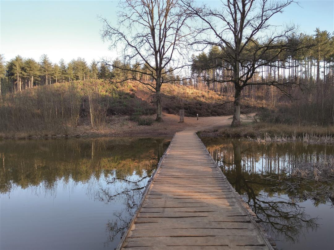
The beautiful abbey of Averbode is the start of your route. Through nature reserve Averbode Bos en Heide you walk to the Munninckxgoor. From the bird hide you have a magnificent view of this large fens.
Nature reserve Gerhagen is the first recognized silence area in Flanders. Climb the watchtower, visit the Forest Museum or stop for a terrace. Return to Averbode Bos en Heide via the Pinnekenswijer.
Take a rest at the Klompenmuseum before continuing your trip towards the idyllic Weefbergven and the Weefberg, a real ironstone hill. Your tour ends at Het Moment.
automatic translation
 nodes to follow
0 km
0.6 km
0.7 km
0.9 km
2 km
2.6 km
2.8 km
2.9 km
3.9 km
4.4 km
5.4 km
5.5 km
5.8 km
6.6 km
7.3 km
8.8 km
8.9 km
9.5 km
10 km
10.2 km
10.7 km
11.5 km
12 km
12.8 km
12.8 km
13.7 km
14 km
14.1 km
14.2 km
15.3 km
15.8 km
16.3 km
17.2 km
17.4 km
17.7 km
18.3 km
18.3 km


 Upgrade to Premium Plus
