
 Hiking
 Login
Login
 More
More
 EN
EN
 Premium
Broekeleiwandeling
6.5 km • Keerbergen
 official route
5.40413 4 3.6/5
route offered by

 Addresse starting point (approximate)
Sint-Michielskerk, Gemeenteplein, 3140 Keerbergen
 signage
The route is fully signposted with nodes.

 Description
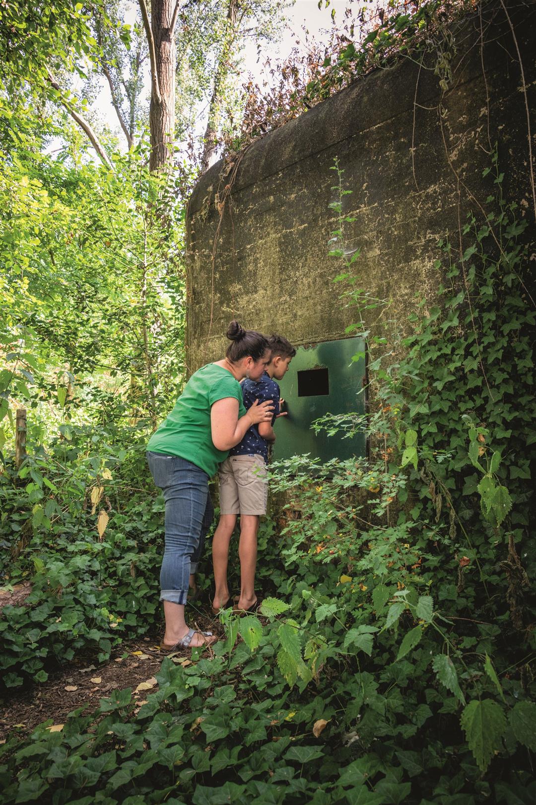
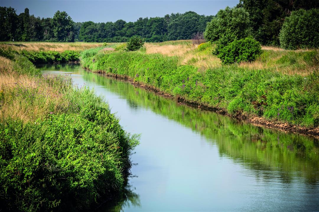
Explore the Broekelei Nature Reserve, formed from a peat-filled meander dating back to the Ice Age. At that time, meltwater from the Demer and Dijle rivers carried so much sand that you can still find it in the subsoil today. The sand, loam, and clay support a rich variety of flora and fauna in a landscape of wet and dry forests, grasslands, pools, streams, and canals. Five bunkers scattered throughout the landscape—remnants of World War II—have been converted into winter roosts for bats.
automatic translation
 nodes to follow
0 km
1 km
1.5 km
2.1 km
3 km
4.5 km
4.7 km
5 km
5.9 km
6.5 km
Friday, February 10, 2023 by Luc WullaertA beautiful piece of nature combined with the obligatory Keerberg villa district. The gaudy and/or ugly houses you have to put up with.
automatic translation
Wednesday, September 1, 2021 by K.S.Very nice route, mainly with the dog. Parts paved, but quiet, part dike, part forest. I have done it several times!
automatic translation
Sunday, May 24, 2020 by P.H.A nice walk, the parts on paved roads are along quiet roads so it does not bother. For the kids an ice cream as a reward in the market square was a nice extra.
automatic translation
Monday, May 27, 2019 by M.A.I happened to come across this hike and have done it(me and my husband) with the intention of hiking it with our club,first we did the whole hike and a few days later a shortened version because there are some of our members who can't handle the full km anymore.What we noticed is that the pole with the junction number 94 was gone after a few days fortunately that pole was there the first time otherwise I think we would have gotten lost.
Greetings
automatic translation



 Upgrade to Premium Plus


