 Hiking
 Login
Login
 More
More
 EN
EN
 Premium
Abenowandeling
2.7 km • Rotselaar
 official route
2.3534 0 0/5
2.7 km
0.0 km
0.0 km
route offered by
 Addresse starting point (approximate)
Vakenstraat 18, 3110 Rotselaar
 signage
The route is fully signposted with nodes.
© Lander Loeckx
 Description
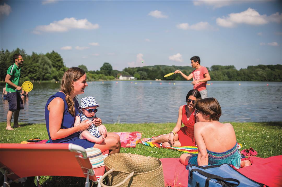
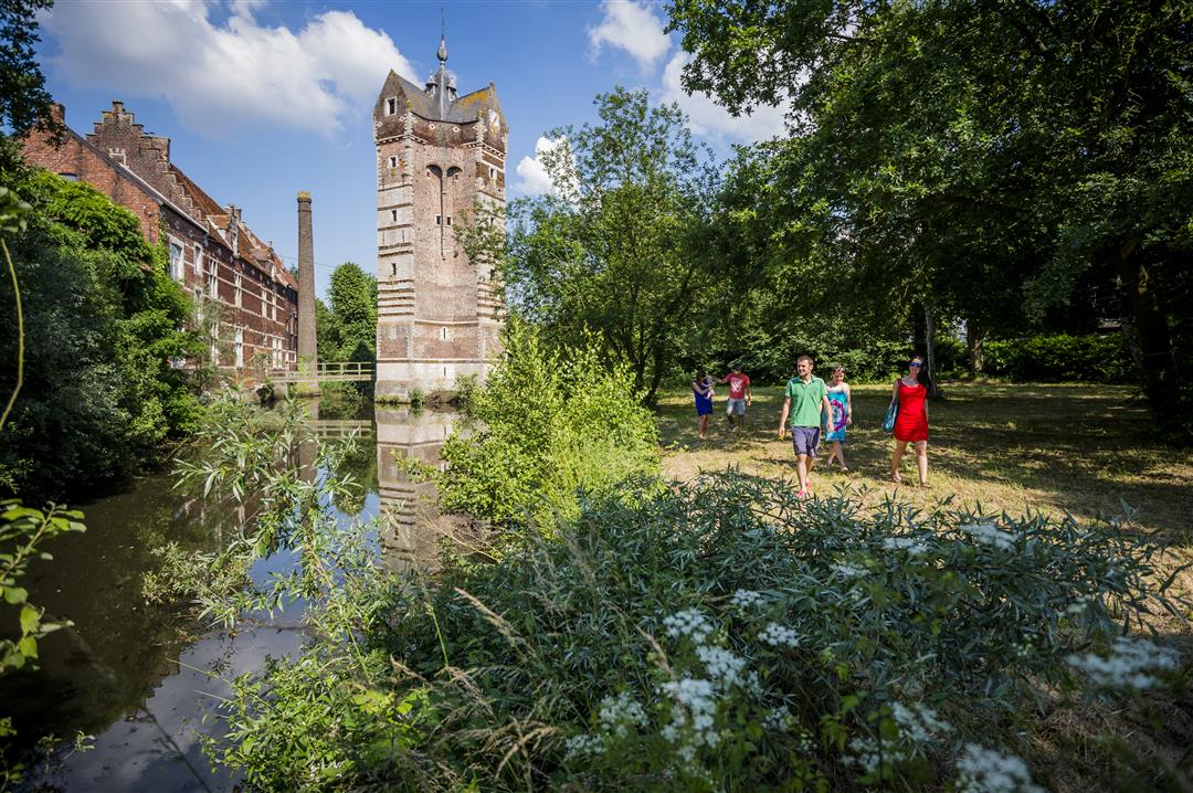
You can walk all the way around the Plas van Rotselaar on fully accessible paths. This large recreational pond was created in 1975 after sand was extracted for the construction of the E314 highway. It’s a wonderful spot for swimming, surfing, or fishing, and wheelchair users can also reach the swimming area via a wooden boardwalk across the sandy beach. As a bonus, your walk takes you into the woods toward the imposing Ter Heydetoren: 30 meters high and built in the 14th century by Gerard II vander Heiden.
automatic translation
 nodes to follow
0 km
0.6 km
1.1 km
1.3 km
2.1 km
2.2 km
2.5 km
2.7 km


 Upgrade to Premium Plus
