 Hiking
 Login
Login
 More
More
 EN
EN
 Premium
Dorentwandeling
7 km • Vilvoorde
 official route
1.9445 3 2/5
route offered by
 Addresse starting point (approximate)
Sint-Jozefkerk, Gevaertstraat 1, 1800 Vilvoorde
 signage
The route is signposted with thematic signs (no nodes). You can use a GPS device or our app to follow the route through the virtual nodes.
 Description
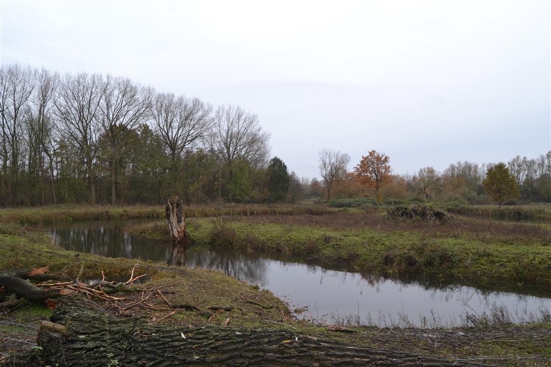
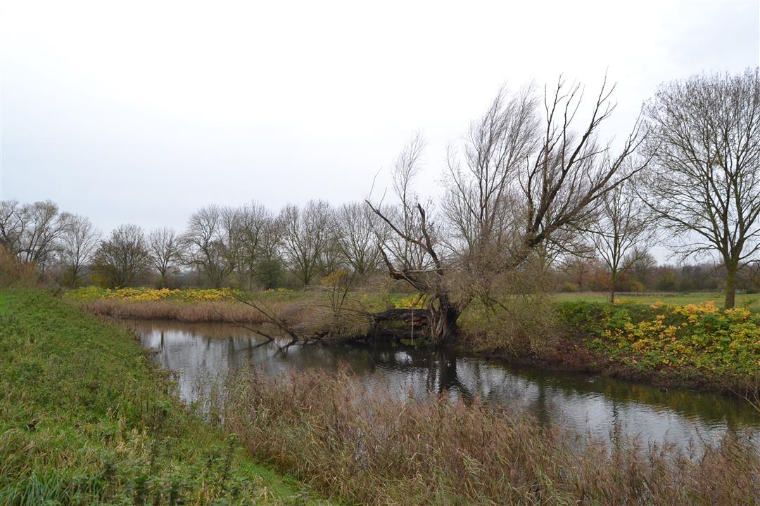
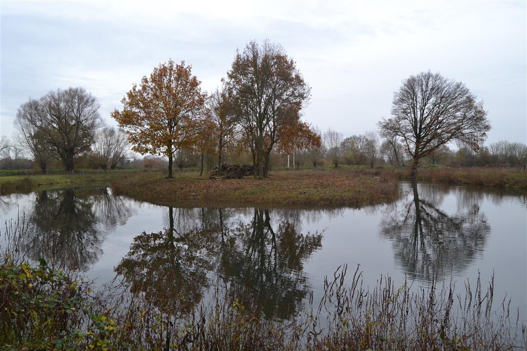
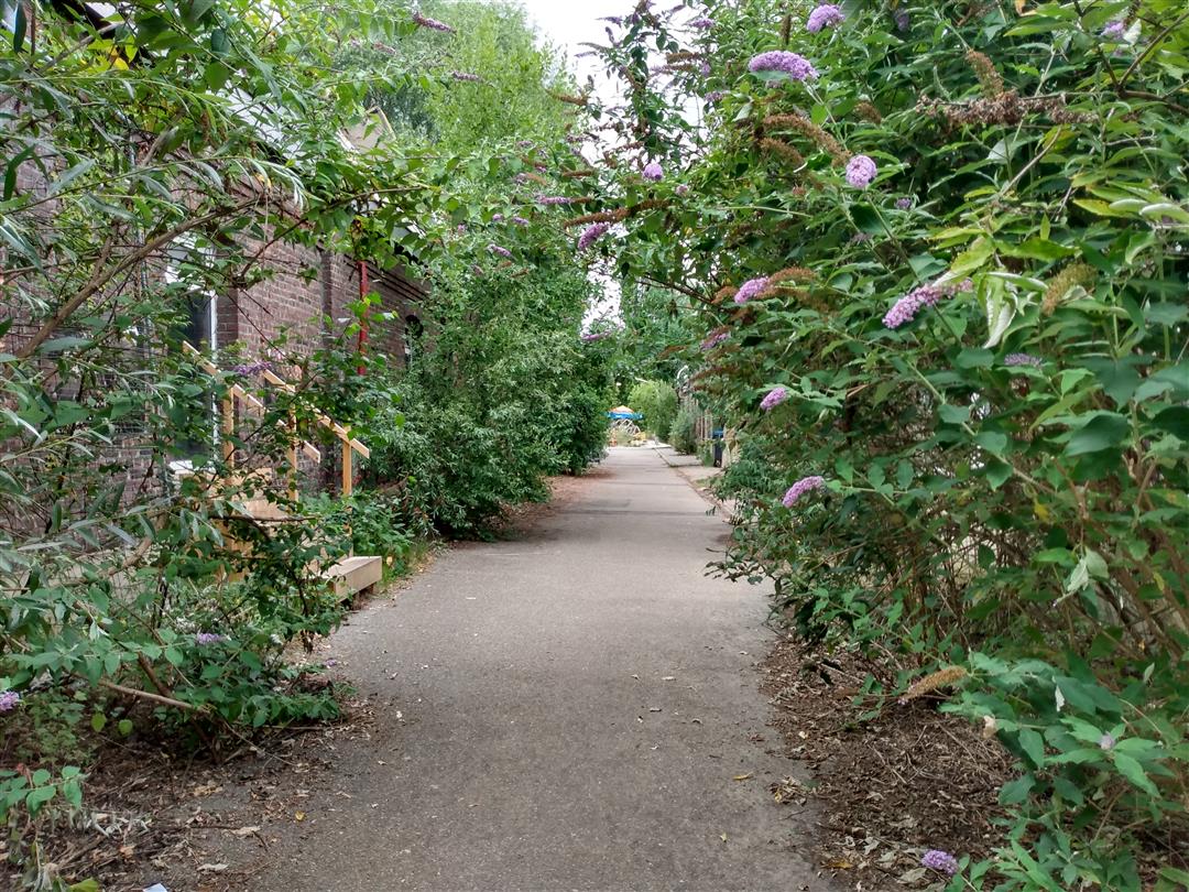
“Vilvoorde City, more specifically in the Far West.” Your journey begins in the working-class neighborhood that singer Kris De Bruyne once sang about and follows the Zenne River to the Dorent. In this small stretch of nature reserve on the border with Zemst, you can spot the rare crested newt in the cut-off meanders of the Zenne, as well as a variety of waterfowl such as the coot, the moorhen, and the mallard. Via the Schoewever, a green buffer zone between Vilvoorde and Houtem, you’ll return to the Far West.
Before you set out: This is a walk on a virtual hiking network. The junctions are not marked on the ground. Follow the hexagonal red-and-white signs bearing the name of the walk.
automatic translation
 nodes to follow
0 km
0.8 km
1.7 km
1.8 km
2.4 km
2.7 km
3.4 km
3.9 km
3.9 km
4.9 km
5.1 km
5.8 km
6.3 km
6.9 km
7 km
Sunday, January 18, 2026 by Cindy Van neromQuiet walk, nice terrace at the start and end of the walk. Good signage. Only downside: not enough variety.
automatic translation
Friday, November 27, 2020 by J.D.the southern part of the hike is less , but the northern part more than makes up for it
automatic translation
Sunday, February 16, 2020 by C.V.Yesterday the 15/02/2020 we did the hike from the church normal route once at the Zenne it went wrong broken signs we had read that we had to pass by the Zenne this continued and we arrived in Eppegem and to our surprise we had already walked 5km and the hike was only 7.3 km then we went back and search where we were lost and have not found it unfortunately no more signs I'm sorry I only give 4.50 points.
if the signs are in the right place again we will do the hike again.
many hiking greetings Carl
automatic translation


 Upgrade to Premium Plus
