
 Hiking
 Login
Login
 More
More
 EN
EN
 Premium
Tafelboswandeling
6.9 km • Lubbeek
 official route
3.6984 1 4/5
route offered by

 Addresse starting point (approximate)
Zaal Santro, Tiensesteenweg 56-61, 3211 Binkom (Lubbeek)
 signage
The route is not signposted. Use a GPS device or our app to follow the route through the virtual nodes.
 Description
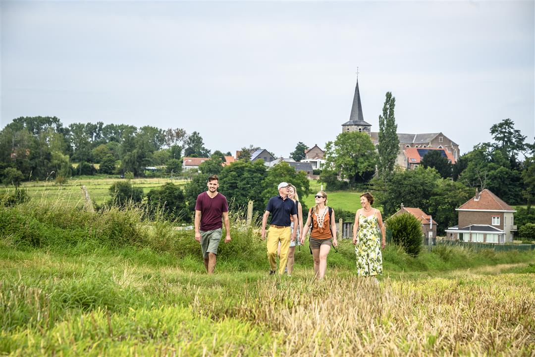
An introduction to the landscapes of the Hageland village of Binkom. You’ll start at St. John the Baptist Church, which towers high above the village like a “cathedral of the Hageland.” Like a pilgrim, you’ll cross the fields along Footpath 60 toward St. Rochus Chapel. Take a moment to catch your breath before leaving the houses behind you and disappearing into the dense greenery of the Tafelbos. In the spring, you’ll be treated to a beautiful carpet of wood anemones here.
Before you set out:
This is a walk on a digital hiking network. The junctions are not marked on the ground.
automatic translation
 nodes to follow
0 km
1.2 km
1.9 km
3.5 km
5.4 km
6.2 km
6.9 km
Thursday, May 30, 2024 by M.D.Beautiful walk in greenery. We had to make our way through the tall grass. Nice! Downside: the app is not up to date. At one point we got stuck. The route had shifted, but the directions didn't show that.
automatic translation
Sunday, November 10, 2024 by P.S.True. You get stuck in a boggy field. The signs with 'Binkomwandeling' are not readable. At Schoofstraat do NOT turn right into the field, but better straight on until Tiensesteenweg (thus virtually skipping node 551).
automatic translation
Monday, November 17, 2025 by G.V.The app and map of Visit Vlaams Brabant are indeed not updated. In the Schoofstraat you have to step about 100m further and take the Buurtweg "Bellestraetje", cross the stream over a small bridge and continue along the stream to the Bellestraat and the node 551. The signs "Binkom hike" are from an old hike.
automatic translation



 Upgrade to Premium Plus


