 Hiking
 Login
Login
 More
More
 EN
EN
 Premium
Haacht Treasures Walk
8 km • Haacht
2.3154 0 0/5
route offered by
Toerisme Haacht
 Addresse starting point (approximate)
parking Lombaardenlaan Haacht
 signage
The route is partially signposted with nodes. Use a GPS device or our app to follow the route.
 Description
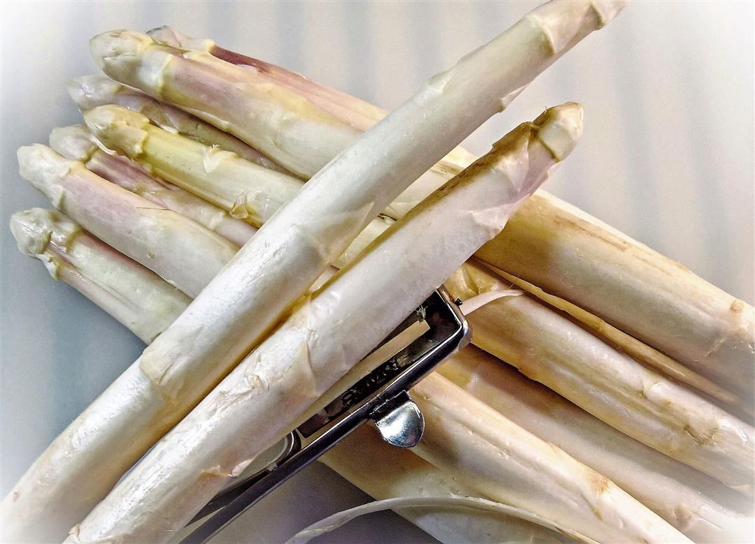
Along hidden spots, slow paths guide you to the banks of the Dijle and the Heerlyckheid van Roost. While you stroll peacefully, the secret of the "white gold" is revealed - a reference to local specialties. This hiking tour provides a unique opportunity to explore the surroundings in a relaxed manner and to appreciate the natural beauty that the region has to offer.
On the way, the route invites you to linger and enjoy refreshing breaks. For those who crave a tasty interruption during their journey, there are numerous Haacht hospitality establishments to choose from. Let your senses roam freely and savor the rich culinary possibilities that Haacht has to offer, while the slow paths lead you on an enchanting journey through the landscape.
This route is presented to you by the municipality of Haacht.
 nodes to follow
0 km

0.7 km
0.8 km
1.1 km
1.5 km
1.6 km
3.7 km
4.5 km
4.7 km
5.1 km
5.6 km
6.1 km
6.3 km
6.4 km
6.5 km
6.9 km
7 km
7.3 km
7.5 km
7.6 km
7.7 km

7.9 km


 Upgrade to Premium Plus
