
 Hiking
 Login
Login
 More
More
 EN
EN
 Premium
Nieuwenroodse wandeling
9.8 km • Kapelle-op-den-Bos
 official route
2.7333 6 3.8/5
route offered by

 Addresse starting point (approximate)
Gemeenschapscentrum de oude pastorie, Kerkstraat 24, 1880 Nieuwenrode (Kapelle-op-den-Bos)
 signage
The route is signposted with thematic signs (no nodes). You can use a GPS device or our app to follow the route through the virtual nodes.
 Description
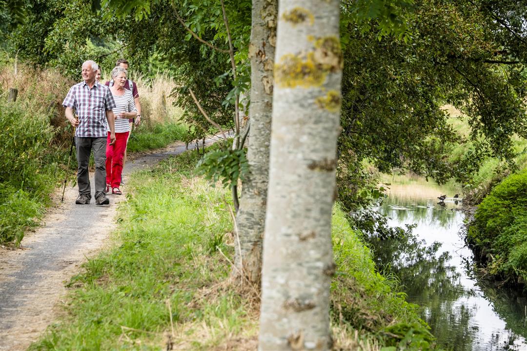
A walk to the most beautiful buildings in Nieuwenrode. You’ll start at the beautifully restored community center De Oude Pastorie, a former nunnery, and pass by several old farmsteads such as the Brandhof, Noorhof, and Hof ten Dorp. You’ll then walk along concrete and dirt paths to the banks of the Brussels-Scheldt Sea Canal. Follow the Vaartdijk and watch the inland waterway vessels drifting peacefully by at the Zemst Lock.
Before you set out:
In winter or after a period of rain, the trails in Gravenbos can be soggy.
This is a walk on a virtual walking network. The junctions are not marked on the ground. Follow the hexagonal red-and-white signs bearing the name of the walk.
automatic translation
 nodes to follow
0 km
1.5 km
2.5 km
5.2 km
6 km
6.9 km
7.7 km
9.4 km
9.8 km
Saturday, June 29, 2024 by P.D.Nice a few dangerous pieces
automatic translation
Tuesday, April 26, 2022 by Yasmin VdCFirst half very unpleasant. Street walking along busy roads with no footpaths. Also road works. Signs poorly indicated. In short: a little agony for owner and dog. Once you get to the water, however, it becomes a top walk. So with some thinking in advance you can make a better version of it (starting point boat).
automatic translation
Saturday, March 20, 2021 by Luc Hendrickxvery nice hike, a little bit of everything and very well marked.
automatic translation
Sunday, January 10, 2021 by W.V.nice route but unwalkable when it has rained. very unfortunate. the route next to the canal is terrible. everything else is ok
automatic translation
Wednesday, July 1, 2020 by J.D.pleasant walk with varied views , both forest , water , nature .
automatic translation
Thursday, April 9, 2020 by P.D.beautiful rural and woody
automatic translation



 Upgrade to Premium Plus


