 Hiking
 Login
Login
 More
More
 EN
EN
 Premium
Wespelaar-Wakkerzeel walk
9.1 km • Haacht
2.4202 2 3/5
route offered by
Toerisme Haacht
 Addresse starting point (approximate)
Church Wespelaar - Grote Baan 63, 3150 Haacht
 signage
The route is partially signposted with nodes. Use a GPS device or our app to follow the route.
 Description
From the Arboretum in Wespelaar, you can walk to the artists' village of Wakkerzeel. In some places, the rural character of our municipality will certainly surprise you. The Arboretum's magnolia collection is one of the largest in Western Europe. In spring, these trees create a sea of pink and white flowers.
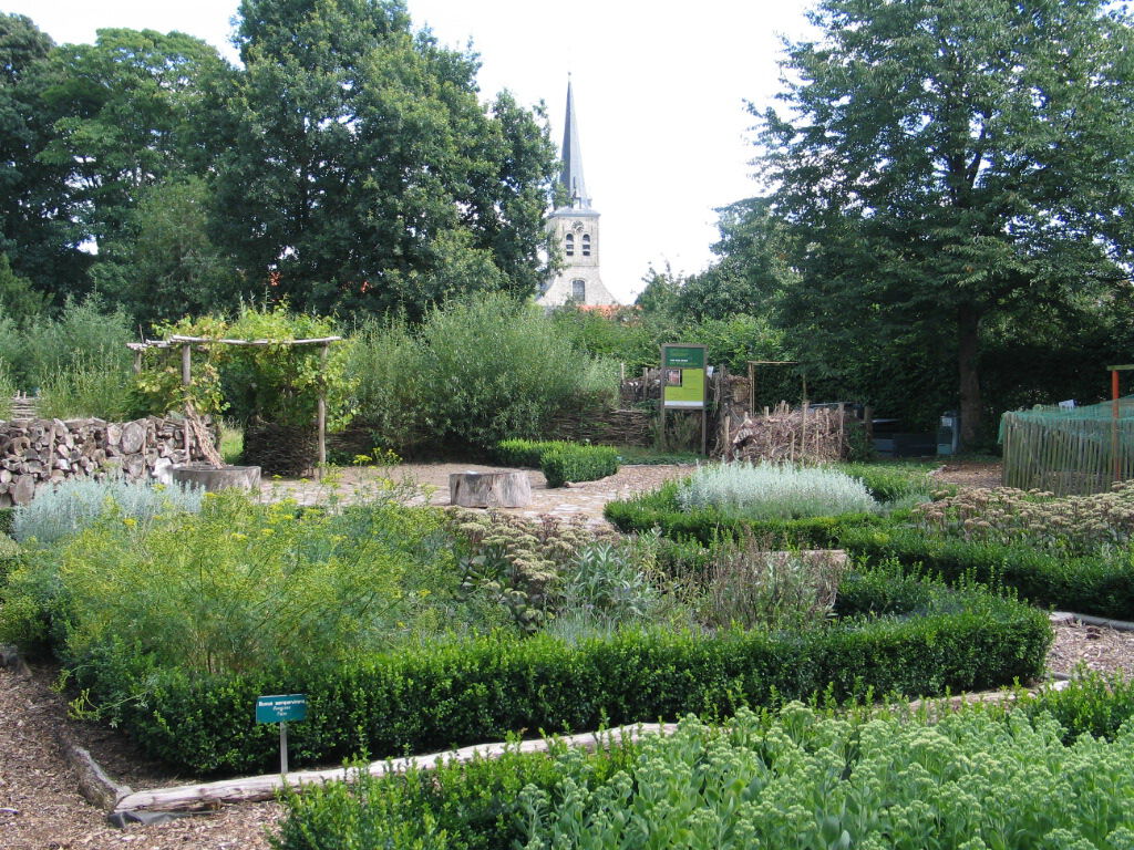
In Wakkerzeel, a recycling garden was established in the presbytery's garden. You can gather ideas and see practical examples of how to prevent and reuse green waste in your own garden. The garden is freely accessible or can be visited with the guidance of an EcoWerf guide.
This route is offered to you by the municipality of Haacht.
 nodes to follow
0 km

0.4 km
0.5 km
0.9 km
1.4 km
2 km
3.2 km
3.6 km
3.9 km
4.7 km
5 km
5.1 km
6.3 km
6.8 km
7 km
8.3 km
8.8 km

9.1 km
Sunday, December 8, 2024 by P.L.Couple of nice bits...but other than that, we didn't really think it was worth it. Not worth repeating.
automatic translation
Monday, February 26, 2024 by M.D.This hike takes you along slow trails. Ample parking is available at the starting point. The route is effortless to follow and offers a pleasant variety of landscapes.
automatic translation


 Upgrade to Premium Plus
