 Hiking
 Login
Login
 More
More
 EN
EN
 Premium
Beaver Woods Walk
automatic translation
5.5 km • Wemmel
 official route
2.4252 4 3.2/5
route offered by
 Addresse starting point (approximate)
Villa Beverbos, Haagdoornlaan 15, 1780 Wemmel
 signage
The route is fully signposted with nodes.
 Description
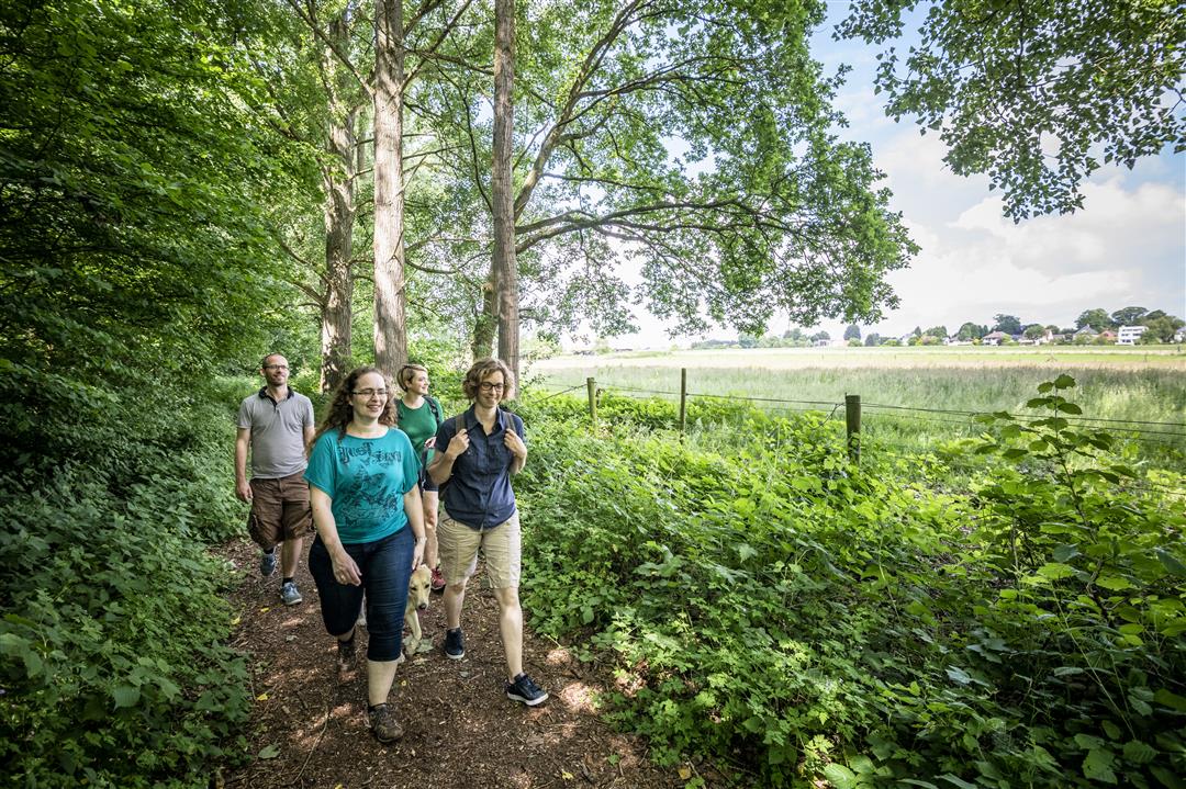
The forest around Beaver Castle is a nature reserve that stretches along the Maelbeek between Strombeek-Bever and Wemmel. Springs of clear, calcareous water keep the loamy soil marshy. As a result, the area has an interesting vegetation of arum, kingcup, yellow lis, water plantain, hedgehog's head and salomon's seal. It is also a true paradise for animals. Villa Beverbos, the building at the small pond, serves as a municipal meeting place.This walk is offered by Tourism Flemish Brabant.
automatic translation
 nodes to follow
0 km
1.2 km
2 km
3 km
4.2 km
4.5 km
5.4 km
5.5 km
Friday, September 5, 2025 by Mieke Cannienice walk but piece along highway not so nice. piece had to detour because dog is not allowed on a part of the route
automatic translation
Friday, November 27, 2020 by J.D.certainly a nice walk , we left at nr 52 , the next turn to the right you come in a piece where no way through without being up to your ankles in the mud , we know the area and did find an alternative via a small detour
automatic translation
Sunday, July 19, 2020 by rony deroovery nice walk along quiet and beautiful roads in and next to the forest with beautiful views, 2 minus points, the starting point 59 villa beverbos was not to be found I drove through to node 52 to start there, along the highway much too noisy as already mentioned but yes is something else than we are used to and between node 59 and 52 between 2 horse pastures in the road may be mowed almost no passage through the long grass and nettles
automatic translation
Thursday, June 4, 2020 by P.R.Nice easy hike.
Half of the route in/along the forest, other half open field.
The part along the highway is very noisy and less pleasant.
You can avoid it by going directly to point 54 300m after point 53. It does make the route shorter.
automatic translation


 Upgrade to Premium Plus
