 Hiking
 Login
Login
 More
More
 EN
EN
 Premium
Walking past Hoeilaart serrist villas
automatic translation
6.4 km • Hoeilaart
1.6512 2 2/5
route offered by
Toerisme Hoeilaart
 Addresse starting point (approximate)
Gemeenteplein 39 Hoeilaart
 signage
The route is not signposted. Use a GPS device or our app to follow the route.
 Description
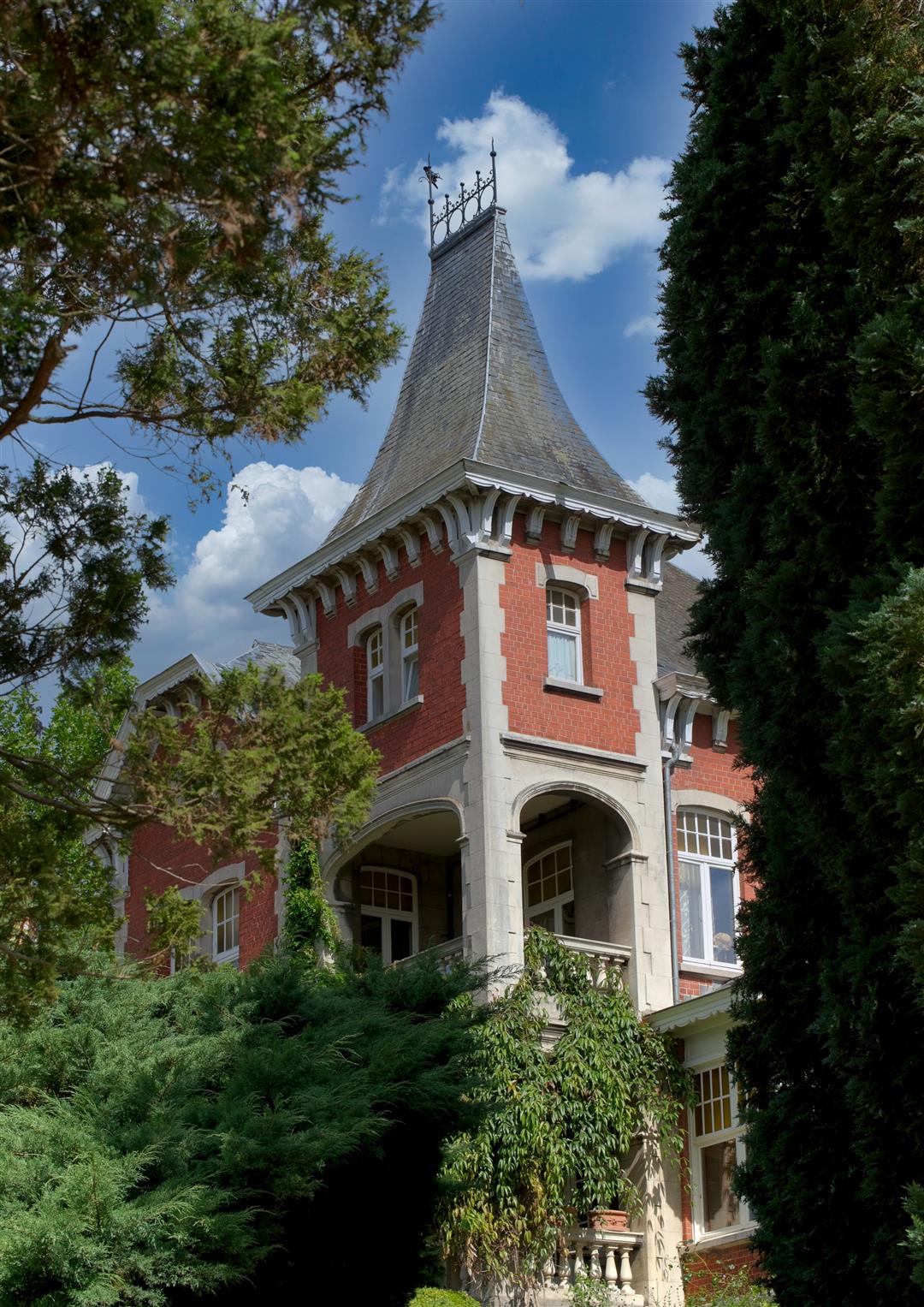
The prosperity that grape-growing brought to Hoeilaart can be seen in the beautiful serrist villas. Walk through time and discover a piece of delightful history and architecture. Explore the rolling landscape and move along some challenging slopes and beautiful panoramas. Throughout the route you will see some twenty of the most beautiful serristen villas.
This walk is offered to you by the Leisure Department of the local government of Hoeilaart in collaboration with Toerisme Vlaams-Brabant.
automatic translation
Friday, July 19, 2024 by C.D.This route is 6.4 km which is not correct at all, we did not do a big part and were already at 10 km. This route is poorly marked on map: street names are missing from the map or point on the spot to a dead end. The footpaths are pitiful. No indication where the villas JUST are, no description at all.
automatic translation
Monday, July 15, 2024 by A.L.To be honest, we expected a bit more from this hike. In itself a nice route through Hoeilaart, a bit up and down, and also leads past some nice villas. But any explanation or info is missing. And we might have expected more views of the surroundings. Count on one and a half hours of walking for the whole route.
automatic translation


 Upgrade to Premium Plus
