 Hiking
 Login
Login
 More
More
 EN
EN
 Premium
Along the fork of the Ourthe
automatic translation
13.1 km • Nisramont
6.11715 1 4.5/5
route offered by
 Addresse starting point (approximate)
Route du Barrage, 6983 La Roche-en-Ardenne, België
 signage
The route is not signposted. Use a GPS device or our app to follow the route through the virtual nodes.
 Description
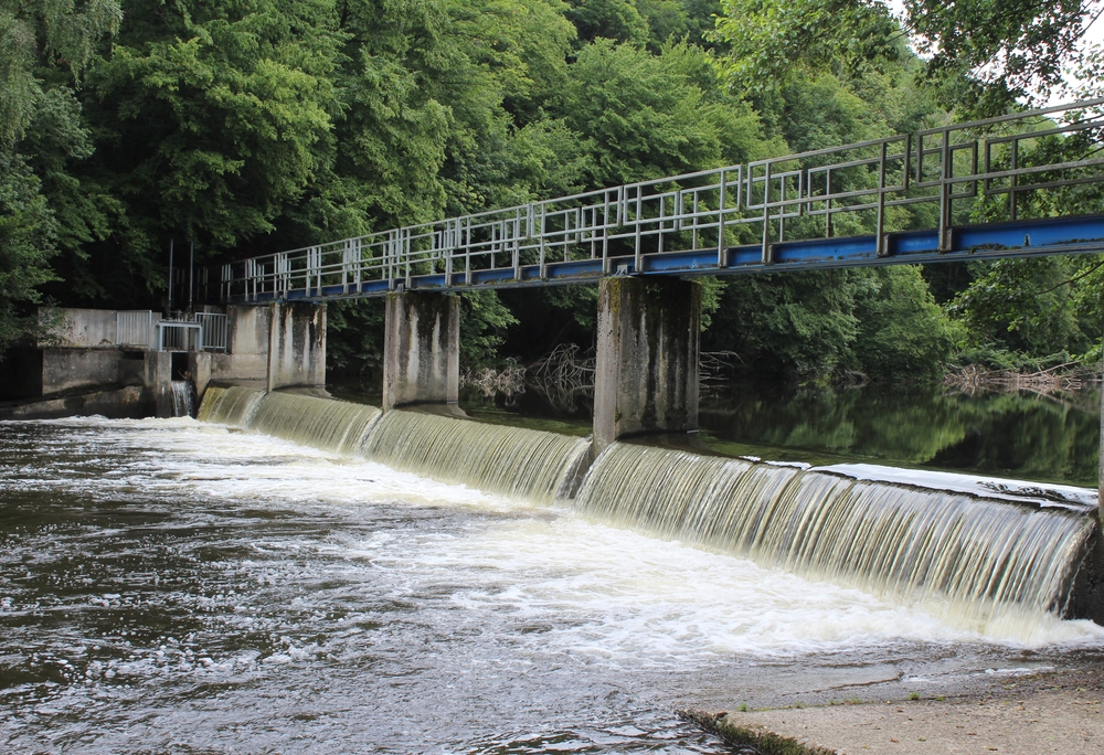
You start this wonderful hike at the Nisramont dam. You will stand face to face with a technical masterpiece that not only delivers drinking water but also represents a harmonious blend of nature and technology. The Lake of Nisramont, formed by the dam, offers an oasis of calm where the local fauna and flora thrive. Along beautiful paths, you come into the heart of pristine nature, which offers a different breathtaking spectacle in every season. You walk around the starting point of the Upper Ourthe, where the Western and Eastern Ourthe converge. You cross the river again at Nasse de Martimbai, a pedestrian bridge, and small weir over the Eastern Ourthe.
automatic translation
 nodes to follow
0 km
0.2 km
1.2 km
2.7 km
3.2 km
4.5 km
5.4 km
5.6 km
8.2 km

8.7 km
9.1 km
9.2 km
9.9 km
11.8 km
13 km


 Upgrade to Premium Plus
