 Hiking
 Login
Login
 More
More
 EN
EN
 Premium
Route of the Lost Ring
automatic translation
14.3 km • Chameleux
1.3172 0 0/5
route offered by
 Addresse starting point (approximate)
Chamleux 6, 6820 Florenville, België
 signage
The route is not signposted. Use a GPS device or our app to follow the route through the virtual nodes.
 Description
Start your hike in Chameleux, a small hamlet of Florenville. Here, remains of an ancient mail coach stop (an old facility along travel routes where mail coaches stopped to exchange horses, take a rest, and send and receive mail and passengers during former travels) have been discovered along the Roman road from Reims to Trier.
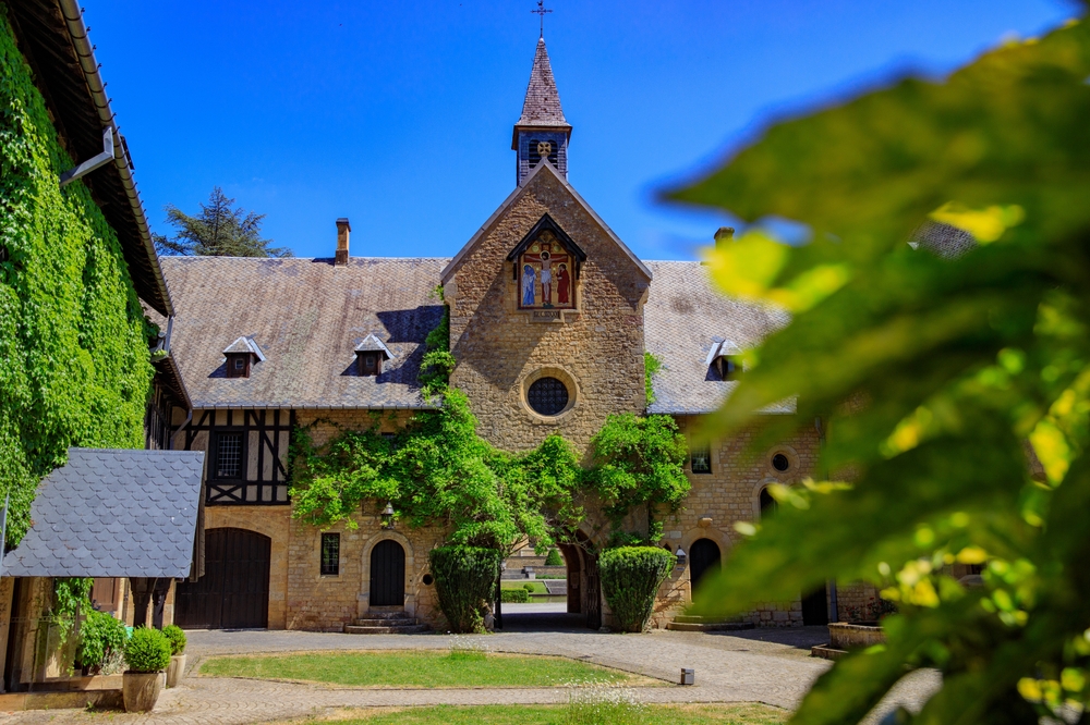
The highlight of this route is the Orval Abbey. This ancient monastery tells its own story of decline and reconstruction. Explore the ruins, admire the architecture, and enjoy the locally brewed, famous Trappist beer or authentic abbey cheese.
Associated with the Orval Abbey is a legend about Countess Mathilde of Tuscany, who in 1076 rested by the source in the valley and accidentally lost her wedding ring. After praying to God, she returned to the source where a trout had the ring in its mouth. Out of gratitude, she founded a monastery on this spot, and since then the source is known as the Mathilde's well. The image of the trout with the ring adorns the label of Orval beer bottles and glasses. This legend is the reason behind the name of this hiking trail.
automatic translation
 nodes to follow
0 km
0 km
2.1 km
3.3 km
5.7 km
8.8 km
9 km
9.7 km

9.7 km
9.8 km
10.8 km
14.3 km


 Upgrade to Premium Plus
