 Hiking
 Login
Login
 More
More
 EN
EN
 Premium
Lintboswandeling
3.9 km • Grimbergen
 official route
2.0383 3 4.3/5
route offered by
 Addresse starting point (approximate)
Parking Diegemput , 1850 Grimbergen
 signage
The route is not signposted. Use a GPS device or our app to follow the route through the virtual nodes.
 Description
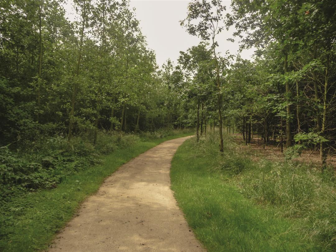
The Lintbos is a young forest tucked away in the Maalbeek Valley, with its mills and prestigious farmsteads. It used to be part of the Grimbergen airfield and was not planted until 2001. It may be young, but it’s already teeming with life, including birds of prey and many regular visitors such as oystercatchers, partridges, quails, and tree pipits. You might even spot a skylark at the forest edges. This walk follows mostly soft forest trails.
Before you set out: This is a walk on a virtual walking network. The junctions are not marked on the ground.
automatic translation
 nodes to follow
0 km
0.4 km
1.6 km
1.6 km
1.7 km
3.1 km
3.4 km
3.9 km
Monday, October 13, 2025 by Eric Van hyfteshort but beautiful
automatic translation
Saturday, August 17, 2024 by F.D.Nice little walk to do when you don't have too much time on your hands... a lot of it in the woods, so it's ideal when it's hot out.... We did it this 17/08/2024
automatic translation
Sunday, November 8, 2020 by M.S.Very nice walk, excellent for carriage/buggy, beautiful views and mushrooms. There is obviously some noise from planes, but also fun to spot them along the runway of Grimbergen Airfield.
automatic translation


 Upgrade to Premium Plus
