 Hiking
 Login
Login
 More
More
 EN
EN
 Premium
Around and on the Kemmelberg
automatic translation
6.7 km • Heuvelland
7.3146 1 4/5
route offered by
 Addresse starting point (approximate)
Dries 4, 8956 Heuvelland, België
 signage
The route is fully signposted with nodes.
 Description
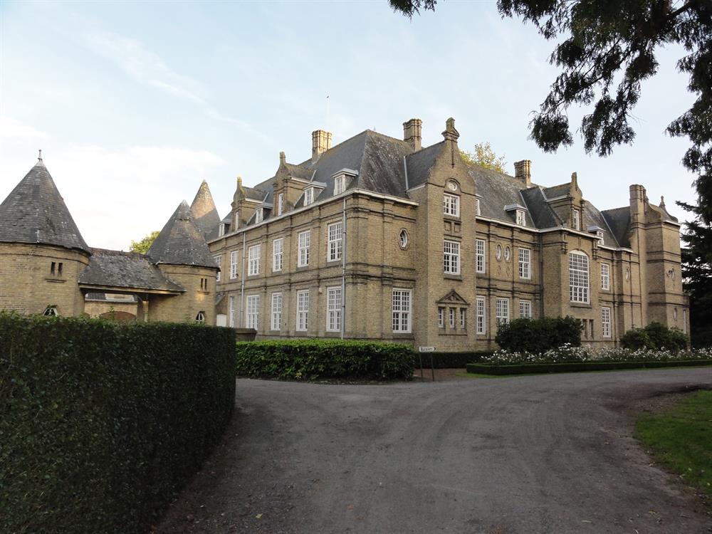
Walk through the historic hills of Heuvelland and unveil the secrets of an area where time and tradition go hand in hand. You will pass by Castle De Warande, an impressive neo-renaissance castle with a storied past and a beautiful surrounding park full of remarkable trees. Then be surprised by the panoramic views from the tourist lookout tower, the Belvedère on the Kemmelberg.
The route leads you past the mysterious Command Bunker of Kemmel, a large military underground bunker built in response to the Cold War. Continue your journey to the idyllic Monteberg for a taste of local wine culture amid stunning nature. You will also come across the Lettenberg, where restored bunkers still whisper the heroic tales of British troops.
automatic translation
 nodes to follow
0 km
0.3 km
1.1 km
1.4 km
1.7 km
2.1 km
2.3 km
3.5 km
3.5 km
4 km
4.8 km
4.8 km
5.2 km
5.5 km
5.8 km
5.9 km
6 km
6.1 km
6.6 km


 Upgrade to Premium Plus
