 Hiking
 Login
Login
 More
More
 EN
EN
 Premium
Star of Freedom Trail
automatic translation
9.6 km • Bastogne
1.8864 0 0/5
route offered by
 Addresse starting point (approximate)
Rte de Bizory 1, 6600 Bastogne, België
 signage
The route is not signposted. Use a GPS device or our app to follow the route through the virtual nodes.
 Description
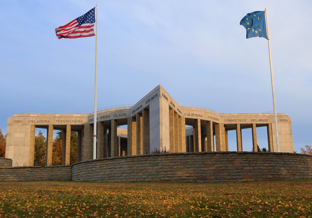
Discover the rich history of the Battle of the Bulge on this atmospheric walking route of 9.6 km. You start at the impressive Battle of the Bulge Monument, which stands as a silent witness on the Mardasson Hill to commemorate the heroism of the American and Belgian soldiers. The monument is a five-pointed star of brotherhood and memory of the critical Ardennes offensive. Not far from there, you can immerse yourself in the Bastogne War Museum, where the authenticity and detailed history of this intense conflict come to life. Here you will see uniforms, vehicles, and striking multimedia exhibitions that take you back in time.
Walk further through fields and along historic paths to reach the Peace Woods. This peaceful forest, planted in tribute to the allied soldiers, offers a moment of reflection and is a symbolic sign of hope and peace. As you walk among the trees, you feel the historical stories that saturate these grounds. Every step on this route brings you closer to the past and lets you rediscover the meaning of freedom.
automatic translation
 nodes to follow
0 km
0 km
0.2 km
0.3 km
1.1 km
2.8 km
3.4 km
5 km
7.6 km
7.7 km
7.8 km
9.5 km


 Upgrade to Premium Plus
