 Hiking
 Login
Login More
More EN
EN Premium
Beemdenwandeling
6.2 km • Meise
 official route
route offered by
 Addresse starting point (approximate)
De Sportschuur, Populierenlaan 20, 1861 Wolvertem (Meise)
 signage
The route is fully signposted with nodes.
 Description
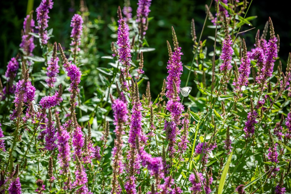
Don't forget your boots, because it can be quite soggy in the Wolvertemse Beemden. When there is a lot of rain, the streams overflow their banks and it can sometimes be flooded here for weeks. You can therefore spot many water birds here in the swampy forest plots, the hay meadows and shrublands. The walk also takes you past some beautiful buildings such as the castle of Imde and the seventeenth-century Boskapel.
This walk is offered by Tourism Flemish Brabant.
automatic translation
 nodes to follow
0 km
0.1 km
1.9 km
2.2 km
3.1 km
6 km
6.1 km
Friday, April 2, 2021 by Rosine Van HemelryckStarting point idd anything but clear .Walk through very varied landscape (open, closed and built. Most part is unpaved but even the paved part gives an overview of the varied modern architecture in the village of Imde. 2nd unpaved part gives explanation via signs. One of the most beautiful in this beautiful region of Brabant Kouters.
automatic translation
Sunday, January 17, 2021 by Michel VMNice walk with a part in nature reserve, and a part on paved roads. Well marked, only starting point a bit to find ...(on the other side of The Sportschuur next to a large garage).
automatic translation
Saturday, November 28, 2020 by J.D.like any walk this one has both minus and plus points, the part in the beemden is really peaceful, pure nature, the other part (the paved roads ) a lot of noise pollution from the nearby A12
automatic translation
Thursday, April 9, 2020 by P.D.beautiful nature point !
automatic translation


 Upgrade to Premium Plus
