 Hiking
 Login
Login
 More
More
 EN
EN
 Premium
Along the Scottish forests
automatic translation
12 km • Tessenderlo-Ham
 official route
4.3697 1 1/5
12 km
0.0 km
0.0 km
 Addresse starting point (approximate)
Gemeentehuis Tessenderlo, Markt 15A, 3980 Tessenderlo-Ham
 signage
The route is fully signposted with nodes.
© Landschapspark de Merode
 Description
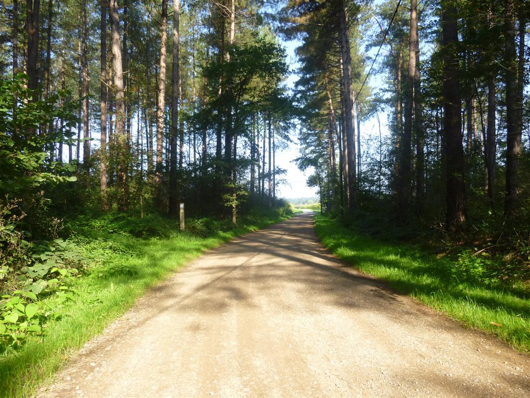
The center of Tessenderlo is an ideal place to start a hike along the hiking network de Merode. You start from the cozy village center and have plenty of choice of restaurants or cafes to start or end your hiking day. From the center of Tessenderlo you walk through the Schoterse bossen to the Gerhagen nature reserve. Return via the Baalberg nature reserve.
automatic translation
 nodes to follow
0 km
0.1 km
1.6 km
1.8 km
2.8 km
2.9 km
3.7 km
4.4 km
4.6 km
5.5 km
6.1 km
7.8 km
9.6 km
9.8 km
11 km
12 km


 Upgrade to Premium Plus
