 Hiking
 Login
Login More
More EN
EN Premium
Petrus Ascanus walk
automatic translation
11.4 km • Asse
 official route
route offered by
 Addresse starting point (approximate)
Sint-Godarduskerk, Processiestraat 1, 1730 Bekkerzeel (Asse)
 signage
The route is fully signposted with nodes.
 Description
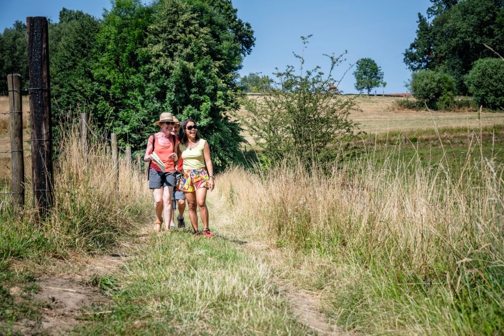
Depart at the St. Godardus Church of the village of Bekkerzeel for a brisk hike on small field roads through quite a hilly landscape. The hike leads you to the 1891 Petrus Ascanus Chapel, built in honor of Assen resident Pieter Van der Slachmolen, who, as the Franciscan friar Petrus Ascanus, was hanged by the Sea Beggars in Den Briel, Holland, in 1572. The man was canonized in 1867 along with 18 peers. The name Ascanus pops up here and there in Asse.This walk is offered by Tourism Flemish Brabant.
automatic translation
 nodes to follow
0 km
0.6 km
2 km
2.1 km
3.4 km
4.1 km
6 km
7.5 km
7.9 km
9.2 km
10 km
10.6 km
11.5 km
Monday, July 11, 2022 by Canters FrankFirst 2/3 of the hike is beautiful and takes you through a rather undisturbed landscape with lots of views. From 7,5 km. back to the start along an asphalt road (3 km) with traffic and the noise of the E40 highway. This somewhat detracts from the experience... The starting address is not correct: it takes you to the church of Kobbegem!
automatic translation
Sunday, June 6, 2021 by Hilde VdVPleasant with winding narrow paths interspersed with fairly quiet asphalt roads. Because there had been and heavy downpour 2 days ago, there were muddy sections here and there and long grass stalks/netles on our way. Occasionally some mountain bikers indeed but that keeps us alert.
automatic translation
Friday, January 8, 2021 by A.V.Beautiful route that for a part runs flush with a mountain bike route and you can tell by the trails. On a wet day like today it is really slogging through the mud.
automatic translation
Saturday, November 14, 2020 by M.V.Not accessible to strollers.
automatic translation
Saturday, November 7, 2020 by Steven Vinckthe starting address is incorrect. The correct one is notelaarstraat in Bekkerzeel. The church name is correct.
automatic translation
Monday, October 26, 2020 by J.D.nice walk for those who love nature , the noise of the E40 you take but to compensate , we did the walk after a few rainy days and there were some very muddy parts , I would say it is still a must
automatic translation
Wednesday, September 2, 2020 by willy ThielemansIndeed, very nice hike, well maintained trails. Really a top hike. To everyone involved, kudos.
automatic translation
Tuesday, August 11, 2020 by K.S.Beautiful hike. Indeed some noise from E 40, but that is more than made up for by the other trails. Still highly recommended I think!
automatic translation
Sunday, July 26, 2020 by Laurence DelcourtToo bad about the second half of the hike, the noise from the E40 is quite overpowering. On all the other suggestion hikes, the quiet is just as important a factor.
automatic translation
Saturday, June 6, 2020 by Luk WillemsWonderful hike through a sparsely built-up area and beautiful nature, with one drawback: a long stretch close to the E40 (noise). Could be improved for detail.
automatic translation
Monday, July 1, 2019 by S.C.Overall, a very nice walk, with small trails between fields and forests, some beautiful scenery and much more nature than buildings.
automatic translation


 Upgrade to Premium Plus
