 Hiking
 Login
Login More
More EN
EN Premium
Kraainem and Wezembeek walk
automatic translation
11.7 km • Kraainem
 official route
1.1720 2 2.8/5
route offered by
 Addresse starting point (approximate)
Parking, Vredeplein, 1950 Kraainem
 signage
The route is not signposted. Use a GPS device or our app to follow the route through the virtual nodes.
 Description
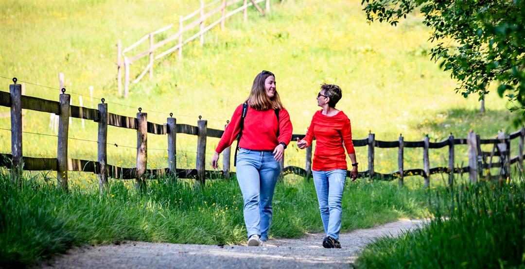
Discover the green eastern edge with the valleys of the Kleine Maalbeek and Wezembeek. They lead you through the Zeenbos in Sterrebeek and the park Jourdain with the castle of the same name, in Kraainem. Stroll along domain De Burbure and the banks of the Wezembeek.
automatic translation
 nodes to follow
0 km
0.5 km
2.3 km
3.4 km
4.5 km
4.5 km
4.7 km
6.2 km
6.2 km
8 km
9 km
10.7 km
11.1 km
11.7 km
Tuesday, April 23, 2024 by G.V.Varied: creek valley up to cafeteria De Kam, then through residential area to fields with wide views, in between a shaded path with a huge cemetery to the left and right. Positive: the many sitting and picnic benches and trash receptacles. At a part of the trail is freeway audible. junctions are not signposted!!! work on it?
automatic translation
Sunday, April 7, 2024 by L.V.Castles disappoint, little to see and experience on this route.
automatic translation


 Upgrade to Premium Plus
