 Hiking
 Login
Login More
More EN
EN Premium
Middle of Flanders walk
automatic translation
8.3 km • Londerzeel
 official route
1.5040 4 3.5/5
route offered by
 Addresse starting point (approximate)
Sint-Amanduskerk, Jozef Vermaesenplein 1, 1840 Malderen (Londerzeel)
 signage
The route is fully signposted with nodes.
 Description
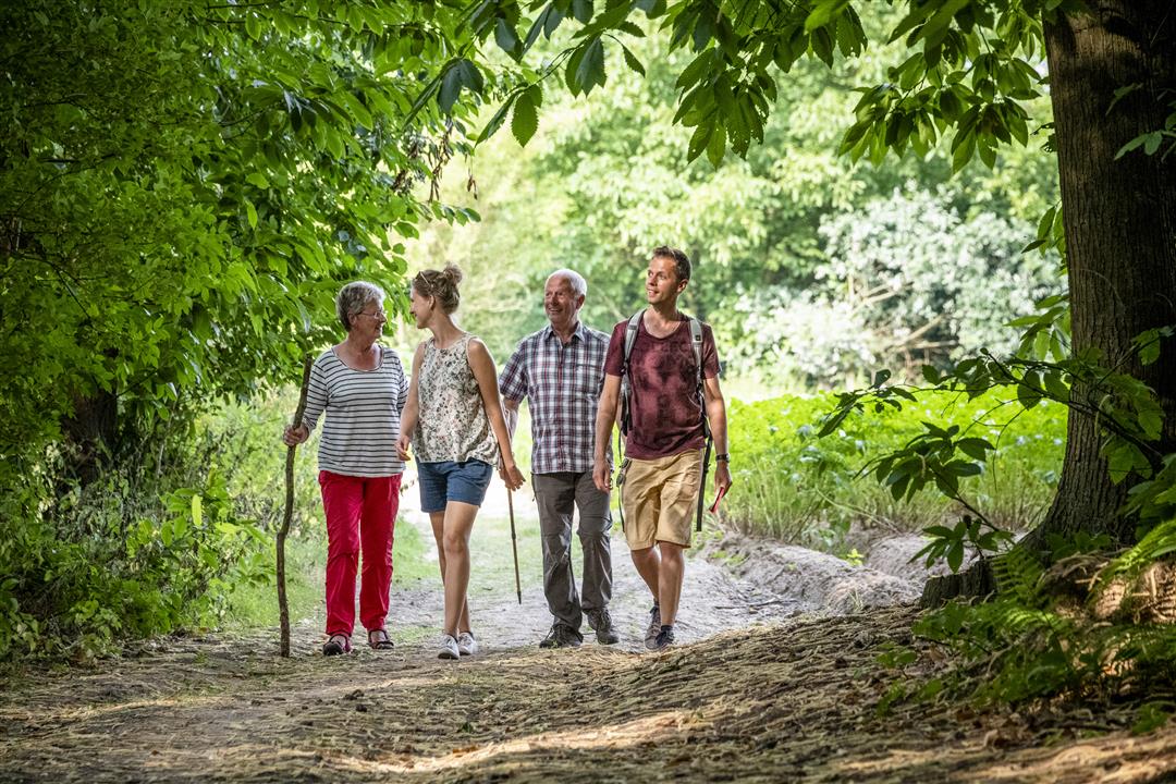
During your trip through the fields where the provinces of Flemish Brabant, Antwerp and East Flanders reach out to each other, you will come to a very special work of art on the corner of a field in Opdorp (Buggenhout). The work by the Opdorp sculptor Roger Van Den Eede is called Het Middelpunt and stands just at the geographic center of Flanders. Although that is not quite correct, the farmer preferred not to have the artwork in the middle of his plot so the sculpture was planted on the edge of it. So the real center is a few dozen meters away. This hike is offered by Tourism Flemish Brabant.
automatic translation
 nodes to follow
0 km
1.2 km
2.3 km
2.8 km
3.6 km
4.4 km
5.5 km
6.2 km
6.4 km
7.1 km
7.3 km
8.3 km
Sunday, June 9, 2024 by C.F.Very pleasant walk. PROBLEM: between no. 74 and 73: Houterkruisweg: start ok. Then walk through a small field in the middle of plantations and then another field which you have to walk along the side of, but where the path has disappeared, so the slush if it has rained. Prefer Spiedamstraat further on.
automatic translation
Thursday, August 27, 2020 by Sara DRNot a nature walk as I expected. It is 60/40 concrete and habitation VS soft ground and nature constantly alternating. Not wheelchair friendly. There is also a section where you walk for 5 minutes on the bike path on the street, which is not safe.
automatic translation
Sunday, July 14, 2019 by Gunter De ClercqBeautiful walk of about 9 km, mostly through the forest, very relaxing. Highly recommended
automatic translation
Sunday, February 24, 2019 by J.D.Fun, varied hike with a little bit of everything, sections through woods, through and along meadows and past quiet buildings.
automatic translation


 Upgrade to Premium Plus
