 Hiking
 Login
Login
 More
More
 EN
EN
 Premium
From Wieze to Denderbelle hiking trail
automatic translation
16.4 km • Wieze (Lebbeke)
 official route
8.06514 4 3.4/5
 Addresse starting point (approximate)
 signage
The route is fully signposted with nodes.
 Description
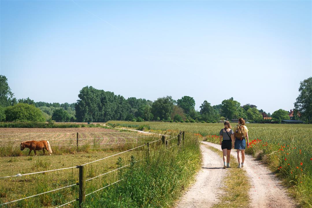
A beautiful walk through pure Scheldt nature, right through small nature reserves with 360° green panoramas. This hiking trail is a topper in the hiking area Scheldt Valley East with start and end in beer village Wieze.
automatic translation
 nodes to follow
0 km
1 km
1.1 km
2.1 km
2.7 km
4.5 km
6 km
6 km
7.1 km
9.3 km
10.8 km
11.7 km
13.1 km
14.1 km
14.6 km
15.2 km
16.3 km
Saturday, August 16, 2025 by Sofie Van Cauwenberghnice varied walk, lots of unpaved fields, many species of birds spotted. Worth doing once!
automatic translation
Monday, June 9, 2025 by Liesbeth De Vochtnice varied walk
automatic translation
Sunday, October 6, 2024 by W.D.Wonderful hike , with lots of diversity in terms of fauna and flora in unspoiled nature as one only finds it in the Dender - and Scheldevallei .
automatic translation
Sunday, June 2, 2024 by Johan Van CaekenbergheThis route is absulutely undoable at node 81 and following. Only with boots and even then. Grass is 50 cm high.
automatic translation
Tuesday, August 13, 2024 by E.V.Now everything was dry and easily accessible. Enjoyed the walk.
automatic translation


 Upgrade to Premium Plus
