 Hiking
 Login
Login
 More
More
 EN
EN
 Premium
Rijnrodewandeling
14.6 km • Bekkevoort
 official route
4.7948 2 4/5
route offered by
 Addresse starting point (approximate)
Onze-Lieve-Vrouwekerk, Dorpsstraat, 3460 Assent (Bekkevoort)
 signage
The route is fully signposted with nodes.
 Description
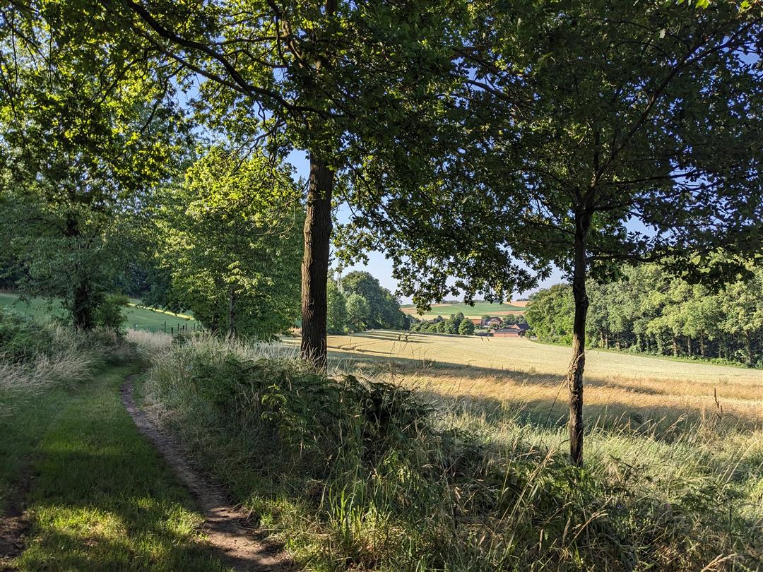
Climb Hermansheuvel and enjoy sweeping views of the Hageland, then venture deeper into the countryside through the orchards. Hermansheuvel is a typical Diestian hill, but one with a history dating back to the Stone Age. Archaeological research has unearthed thousands of stones and earthenware objects from the Michelsberg culture. Tip: take a short detour from the walk and visit the Kluisberg winery. You can have a picnic among their vineyards there.
automatic translation
 nodes to follow
0 km
0.2 km
0.2 km
0.8 km
1.5 km
2 km
3.9 km
4.2 km
4.7 km
5.7 km
6.6 km
8.6 km
9 km
10.8 km
13.5 km
14.4 km
14.6 km
Wednesday, September 13, 2023 by A.C.Diverse and beautiful landscapes (orchards, hollow roads, fields, ... ) combined with technology, namely windmills that you walk right under. You hear their noise and experience the cast shadow. The noise of the E314 is often a disturbing factor. Several times you walk unsafely along streets with no sidewalk. Slug dumps are also passed.
automatic translation
Sunday, July 9, 2023 by S.V.Nice walk, 1 time not really clear which direction to go
automatic translation


 Upgrade to Premium Plus
